Bordeaux to Cap Ferret: lighthouse, oysters and beaches
22 km between the ocean and the Bassin: the red-and-white lighthouse, the oyster-farming villages of L'Herbe and Le Canon, oysters enjoyed overlooking the water, the ocean beaches, and the Algerian chapel—and how to get to the peninsula from Bordeaux. Everything you need to know before you go.
Cap-Ferret at a Glance
Cap-Ferret is the tapered tip of a long, sandy peninsula wedged between the calm, silvery Arcachon Bay to the east and the wild, powerful Atlantic Ocean to the west. People come here for the red-and-white lighthouse towering above the pine trees, for the ten small oyster-farming[1] villages where you can devour oysters with your feet in the water, for the wooden huts perched along the waterways, and for the deserted ocean beaches swept by the waves. It’s a place like no other, claimed by fishermen, oyster farmers, and a chic clientele from Paris alike, yet it has managed to remain discreet and low-key beneath its pine trees. There are also many misconceptions circulating about Cap-Ferret: ghost towns, fanciful lighthouse heights, poorly situated stilt huts, and a misunderstood administrative status. This guide patiently separates fact from fiction, village by village and figure by figure, to help you plan your visit from Bordeaux with confidence.
From an administrative standpoint, it all comes down to a fact that many people are unaware of: Cap-Ferret is not a municipality. It is the headland and the most famous village of Lège-Cap-Ferret, a commune in the Gironde department stretching nearly twenty-five kilometers of dunes, pine trees, and villages, between land and water. Before you pack your beach towels and corkscrew, here are the essential facts to help you locate the peninsula and understand what awaits you there.
| Landmark | Details |
|---|---|
| Department / Region | Gironde (33) · Nouvelle-Aquitaine |
| Status | A headland and the main village of the municipality of Lège-Cap-Ferret (COBAN) |
| Population (municipality) | ~8,193 residents — the residents of Ferret-Capien (INSEE) |
| Area of the municipality | ~97 km² spread out across a peninsula |
| Must-Sees | The lighthouse, the oyster-farming villages, the oysters, the beaches |
| From Bordeaux | 71 km · 1 hr 19 min · starting at €134 |
Where is Cap-Ferret located?
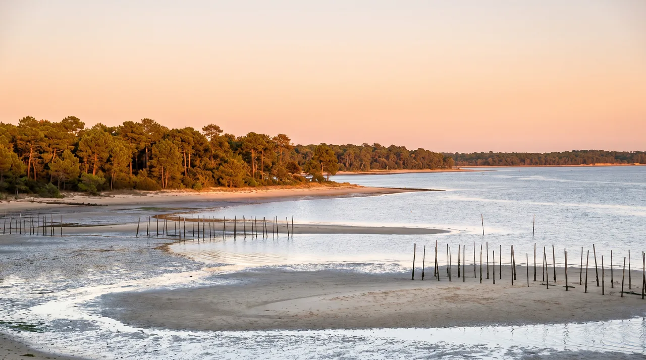
Take a look at a map of the Arcachon Basin: this vast triangular lagoon is connected to the ocean only by a narrow channel, and Cap-Ferret guards its entrance. The peninsula stretches from north to south like a sandy comma, wedged between two worlds. To the west, the Atlantic Ocean unfolds along long beaches pounded by the waves. To the east, the Arcachon Basin spreads out its calm waters, oyster beds, and channels that dry up at low tide. Between the two lies a strip of land barely one to two kilometers wide in places, covered with maritime pines and dunes.
The name itself reflects this geography. “Cap-Ferret” comes from the Gascon language Lou Cap Herré, “the iron tip”—a reference to the alios, those orange-hued iron-rich sandstones that the sea sometimes exposes at the base of the dunes and that color the sand. So this has nothing to do with any blacksmith: the “iron” here is that of the sand. The point itself is slowly shifting, sculpted by the currents and storms that reshape the sandbars of the strait every year.
A peninsula, not a municipality
This is the first thing that needs to be set straight, because the mistake is everywhere. People refer to “Cap-Ferret” as a city, when in fact it is the southernmost tip and village of the municipality of Lège-Cap-Ferret (INSEE code 33236). This unique municipality brings together two very different areas: on one side, Lège, the historic town situated inland at the entrance to the peninsula; on the other, the string of coastal villages that stretches all the way to the Pointe du Ferret. The distance between the town of Lège and the cape is about 23 km, or a 34-minute drive—in other words, two atmospheres that have almost nothing in common.
The town has a year-round population of about 8,193—the residents of Ferret-Capien—spread across nearly 97 km² of territory. But in the summer, the population swells several times over, and the peninsula turns into a long line of cars searching for a spot in the shade. It is precisely this dead-end geography that makes access sometimes tricky during peak season: there is only one road leading down, and only one leading back up.
This dual identity—a forest town on the inland side, a seaside resort on the ocean side—also explains the diversity of landscapes within such a short distance. You pass from the salt marshes and pine forests of the north to the fashionable villas at the tip, passing through fishing villages that have retained their simple charm along the way. Cap-Ferret can therefore never be summed up by a single image: it is a narrow strip of sand where protected nature, oyster farming, and upscale tourism coexist, without any one element completely overshadowing the others.
How far is it from Bordeaux?
From Bordeaux, you can reach the tip of Cap-Ferret via the northern part of the Bassin: head toward Andernos, follow the northeastern shore, then drive down the entire peninsula on the single road through Lège. Allow about 71 km and 1 hour 19 minutes to reach the village and the lighthouse, excluding summer traffic jams. The catch is that Arcachon, which you can clearly see directly across from the tip, is very close as the crow flies—about 7 km—but more than 90 km by road, since you have to go all the way around the Bassin. That’s what makes this place both magical and a bit of a trap: you can see your destination but can’t reach it except by boat or via a long detour.
| From / To | Distance | Estimated time |
|---|---|---|
| Bordeaux → Cap-Ferret (point) | 71 km | 1 hour and 19 minutes by car |
| Lège (village) → Pointe du Ferret | ~23 km | ~34 min |
| Arès → Cap-Ferret | ~24 km | ~35 min |
| Arcachon → Cap-Ferret (by road) | ~91 km | ~1 hour 30 minutes |
| Arcachon → Cap-Ferret (via the Bassin) | ~7 km | ~30-minute shuttle ride |
The oyster-farming villages on the peninsula
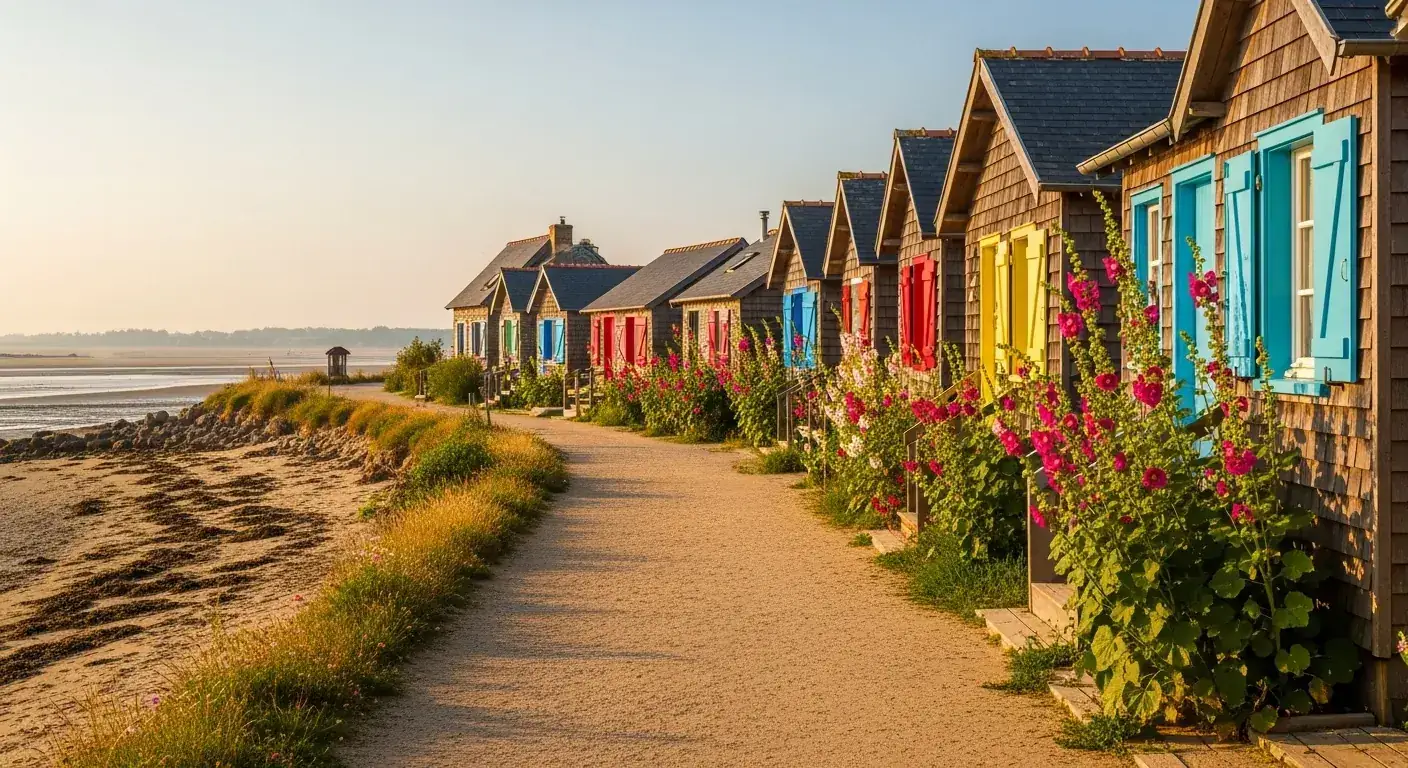
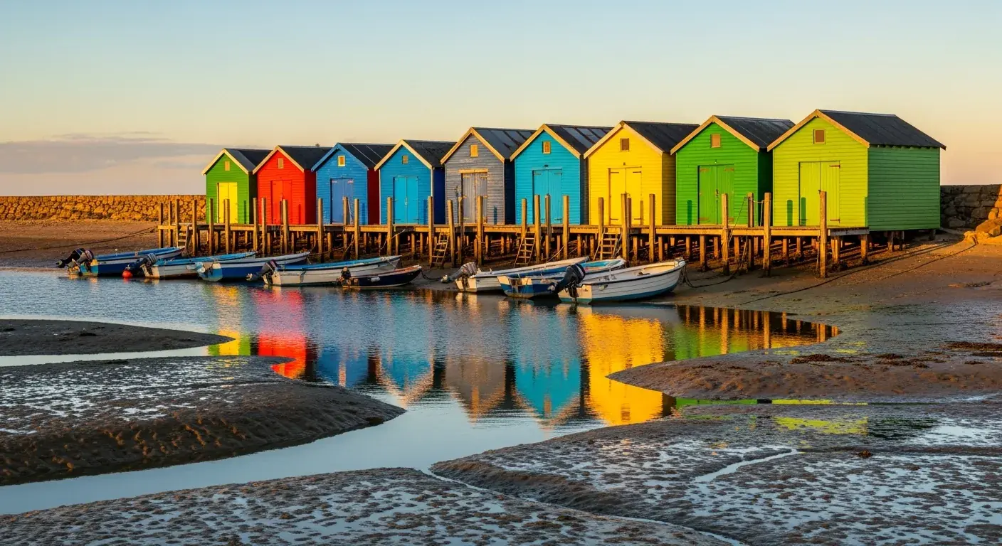
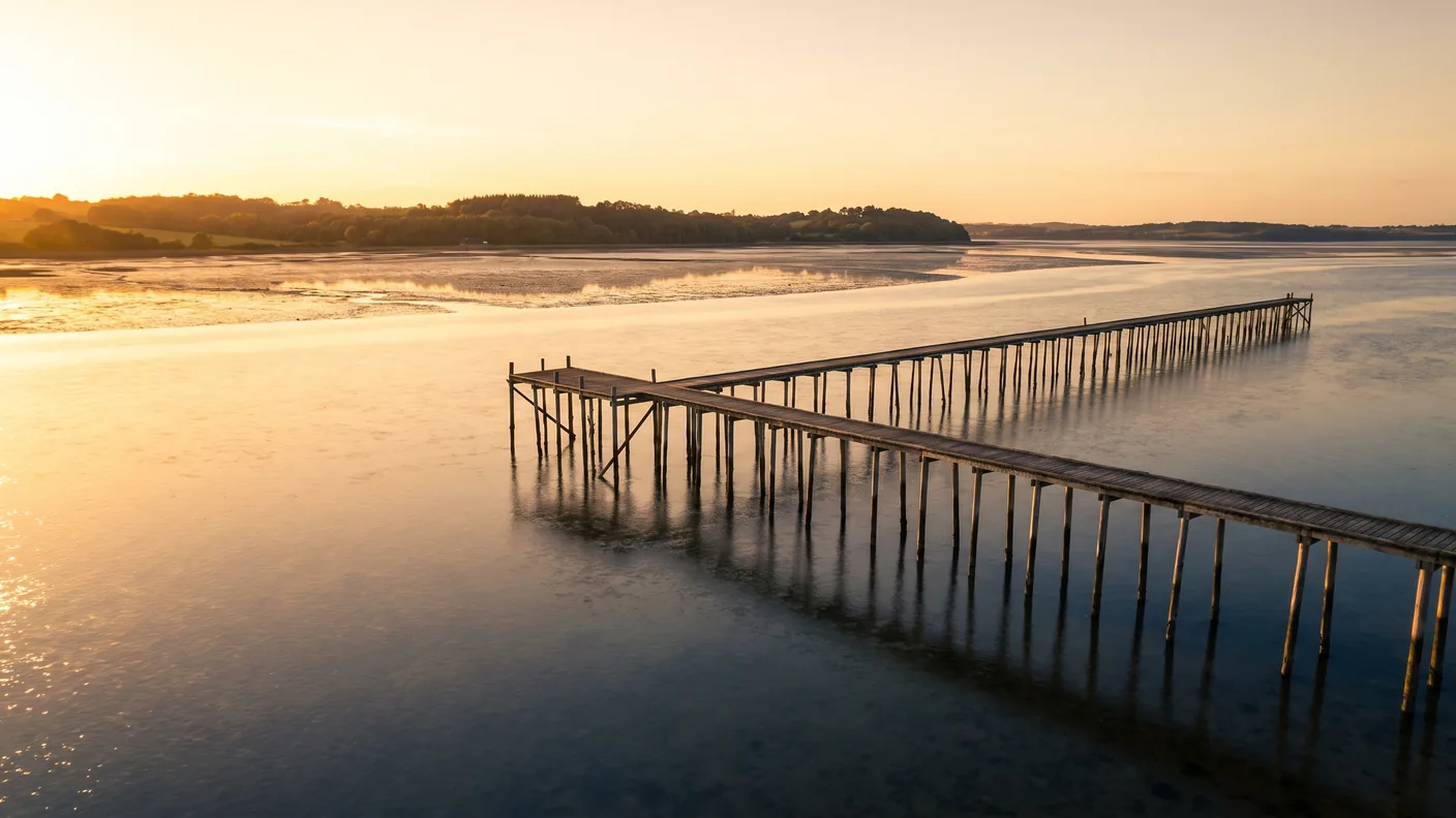
The peninsula isn’t a single town, but a string of small oyster-farming villages nestled along the shore of the Bassin, each with its own harbor, colorful wooden huts, and unique character. This is where the true heart of Cap-Ferret beats: far from the ocean beaches and grand villas, in these hamlets where tables are set up between the huts to enjoy oysters and a glass of white wine, with your feet almost in the water, watching the pinasses rock gently on the waterways.
From north to south, there are nine of them—not eleven or twelve, as is sometimes claimed: Claouey (with its Four neighborhood), Les Jacquets, Petit Piquey, Grand Piquey, Piraillan, Le Canon, L’Herbe, La Vigne, and finally Le Cap-Ferret itself. Each has retained its own character: Claouey, livelier in the north; Piquey, beloved by writers; Piraillan and its reservoir; and L’Herbe with its narrow, winding streets.
Nine villages, from the north to the tip
Take the time to explore them rather than rushing straight to the beach. Here’s what sets each one apart, in the order you’ll encounter them as you head down the peninsula—a simple way to keep them straight once you’re there.
| Village | Distinguishing feature |
|---|---|
| Claouey (and Le Four) | The northernmost, bustling area, serving as the gateway to the peninsula on the Lège side |
| Les Jacquets | A small, unassuming oyster-farming port with a family-friendly atmosphere |
| Little Piquey | A village popular with writers and vacationers in the Bassin region |
| Grand Piquey | Sheltered beaches in the Bassin, very popular in the summer |
| Piraillan | Its natural reservoir and its waterside trail |
| Le Canon | It owes its name to a cast-iron cannon from 1804 |
| The Grass | The only village in the Bassin region designated as a scenic site (1981) |
| La Vigneyard | The peninsula's only marina |
| Cap-Ferret | The headland, the lighthouse, the Bélisaire Pier, and the ocean beaches |
L'Herbe, Le Canon, La Vigne: Hidden Gems
Three villages are worth a visit. L'Herbe is undoubtedly the most photogenic: its maze of narrow alleys, its tightly packed houses, and the absence of cars have earned it the distinction of being the only village in the Bassin region designated as a picturesque site, protected since 1981. It’s easy to get lost here on purpose, amid colorful shutters and laundry hanging to dry. Le Canon, its neighbor, owes its name to a cast-iron cannon from 1804: a battery was installed there to monitor the strait and repel any potential English incursion. Today, people come here mainly for its tasting huts, which are among the most renowned on the peninsula.
As for La Vigneyard, it's theonly marina on the peninsula. It was developed starting in 1960 on the site of former fish ponds dug in 1870 by Léon Lesca, the entrepreneur who left such a mark on the history of Cap-Ferret. Today, you’ll find working pinasses and pleasure boats side by side there. A quick note to clear up some common confusion: you’ll sometimes come across the names of villages that don’t exist—a mysterious “L’Apparts,” for example, which doesn’t appear on any map. Other misunderstandings are more understandable: “Bélisaire” is indeed a place in Cap-Ferret, but it is a pier and a neighborhood, not an oyster-farming village; and “ Le Pyla” is located on the other side of the Bassin, on the south side, in the town of La Teste-de-Buch—which has nothing to do with the peninsula."
The Cap-Ferret Lighthouse
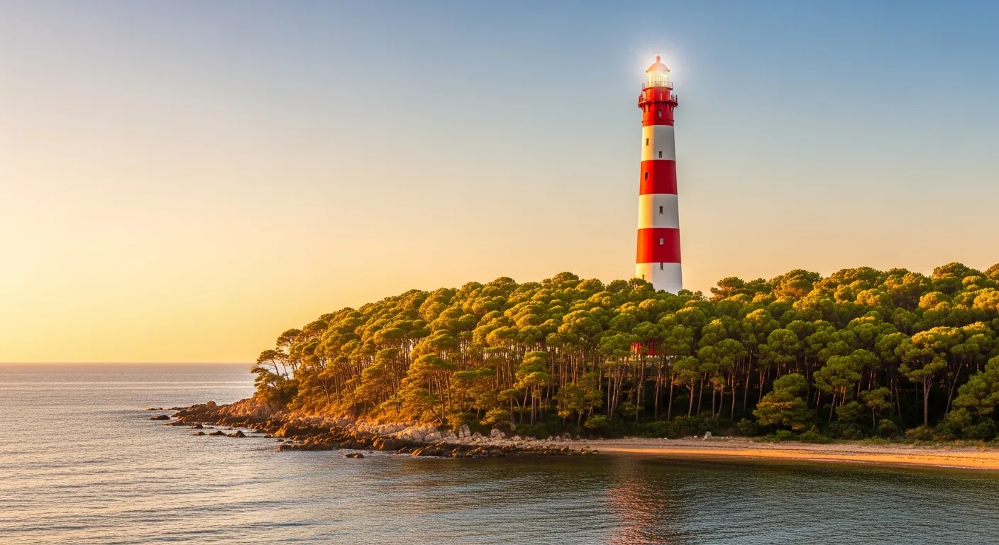
It’s the silhouette that appears on every postcard: a red-and-white lighthouse piercing through the pine canopy and guiding sailors toward the Bassin channel. The Cap-Ferret lighthouse is much more than a navigational marker; it’s the landmark for the entire peninsula, the one people look up to from the beaches and the beach huts alike. And it’s also the spot from which, once you’ve climbed its steps, you can take in the geography of the area at a single glance.
The figures, which are often misrepresented, deserve to be set straight. The tower measures 52.10 meters barrel — it's commonly rounded to 53 meters, but definitely not 57. The summit rises to about 62 meters above sea level, and it can be reached via 258 steps (including sixteen metal ones at the very top). The light, at red flashes every 5 seconds, amounts to approximately 41.7 km, or nearly 22.5 nautical miles—not the 50 kilometers sometimes cited. These are simple but accurate figures.[2]
A lighthouse that was destroyed and then rebuilt
The first lighthouse was lit in 1840 to secure the entrance to a bay known for its dangerous shifting sandbars. But the monument’s history took a dramatic turn during World War II: on the night of August 21–22, 1944, retreating German troops blew it up, as they did with so many other structures of the Atlantic Wall. The peninsula thus lost its symbol. Reconstruction was swift: a temporary structure was put back into service as early as 1947, and then the new lighthouse was inaugurated on August 7, 1949. Restored in 2018, it was listed as a historic monument on November 6, 2009 — “listed,” to be clear, not “classified”—two distinct levels of protection that are often confused.[3]
What can you see from the summit?
Climbing the 258 steps is no easy feat, but the reward is well worth the effort. From the observation deck, the panoramic view takes in everything: the entire Arcachon Basin, with its oyster beds and tidal channels; the Dune du Pilat looming on the southern horizon, across the strait; Île aux Oiseaux nestled in the middle of the lagoon; and, to the west, the endless expanse of the Atlantic Ocean. On a clear day, you can even make out the town of Arcachon, so close and yet inaccessible except by boat. It’s the best vantage point on the entire peninsula, and an excellent introduction to understanding the essence of the place.
A practical tip: The lighthouse is open to visitors, but its hours and operating periods vary greatly depending on the season, and access may be closed in high winds. Be sure to check before you go, and keep in mind that the spiral staircase—with no elevator—takes time to climb. At the base of the staircase, a small museum space traces the history of maritime navigation in the Bay—a great way to pass the time in the shade if crowds mean you have to wait a bit to go up.
The Algerian Chapel of L'Herbe
On the shore of the Bassin, at the entrance to the village of L'Herbe, stands a little gem that stands out against the backdrop of pine trees and cabins: a chapel with an Eastern-style appearance, open arches, and soft colors, colloquially known as the Algerian chapel. Its real name is the chapel Sainte-Marie-du-Cap. In the style of Neo-Moorish, designed by architect Jean-Eugène Ormières, it was built in 1884-1885 and blessed the September 8, 1885. She is listed as a historic monument since 2008.
The Last Remnant of the Algerian Villa
This chapel now stands alone: it is the sole remnant of the Algerian Villa, a sumptuous Hispano-Moorish-style residence built by the contractor Léon Lesca upon his return from Algeria, where he had made his fortune in public works. Nicknamed “the Palace of the Pashas,” this spectacular villa was long one of the landmarks of the Bassin—before being demolished in 1965. Only the chapel survived the demolition. It now belongs to the municipality, which purchased it for a symbolic one euro in order to preserve it. One detail that sums up the spirit of the place: its bell tower bears both a Christian cross and a crescent, a reminder of Lesca’s travels back and forth between the two shores of the Mediterranean. People come to photograph it at sunset, when the low-angled light highlights its arabesques.
Oysters and Oyster Farming
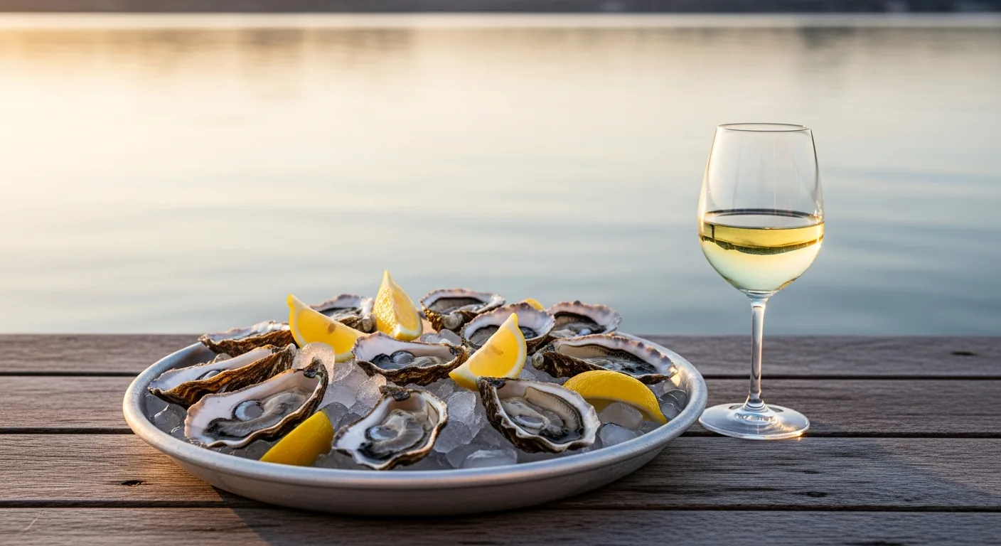
You can’t visit Cap-Ferret without trying some oysters. Here, oyster farming isn’t just a tourist attraction—it’s a thriving industry that shapes the villages, keeps the huts busy, and sets the rhythm of the tides. Savoring a dozen oysters with a glass of white wine, some buttered bread, and homemade pâté, with a view of the oyster beds that emerge at low tide, remains the peninsula’s most iconic experience—and one of the most affordable.
The Arcachon Basin holds a unique place on the French oyster-farming map. It is not so much the volume of table oysters it produces that sets it apart, but rather its role as a national nursery—a role that is discreet yet vital to the entire industry.
Le Bassin, the capital of fish fry
The big secret of the Arcachon Basin is the spawn: the larvae and young oysters that, once harvested, will be transferred to other French ponds to grow. Arcachon is the France's leading producer of oyster seed, accounting for about 70% of the roughly 4.5 billion young oysters harvested each year in the country. In other words, a large portion of the oysters consumed in France were first born here. As for tasting, the Bassin produces about 8,000 to 10,000 metric tons of oysters per year—nearly 7% of national production—from approximately 780 hectares of oyster beds, operated by some 300 professionals. It takes two to three years for an oyster to reach market size.
| Number | The Arcachon Bay |
|---|---|
| Spat | France's leading producer — ~70% of the ~4.5 billion young oysters |
| Tasting Oysters | ~8,000 to 10,000 metric tons per year, or ~7% of national production |
| Park Area | ~780 hectares across the entire basin |
| Operators | ~300 oyster farmers |
| Oyster-farming ports | ~26 throughout the Basin, including 9 villages on the peninsula |
| Aging time | 2 to 3 years for a market-size oyster |
Where can you enjoy oysters?
The golden rule: Choose the huts in the oyster-farming villages over restaurants without a view. The most popular spots are concentrated in L'Herbe and Le Canon, where several oyster farmers set up tables among the huts, right at water level. The concept is simple: the oyster farmer sells his own oysters, often served with shrimp, whelks, pâté, and a local white wine—unpretentious and without any fuss. Most traditional huts don’t take reservations: you find a spot, wait a little while during aperitif hour, and savor the view as much as the platter. A tip: come at low tide, when the oyster beds are exposed and the scenery really comes into its own.
The pinasses, the foreshore, and Île aux Oiseaux
It’s impossible to understand the Bassin without looking at its boats. The pinasse, a long, flat-bottomed wooden boat, is the region’s traditional vessel: designed to glide through shallow waters and rest on the sand at low tide, it was used for both fishing and oyster farming. Today, the pinasse has become a symbol of heritage and prestige—you’ll come across some that have been lovingly restored and varnished like furniture, as well as working models still in use in the peninsula’s harbors.
The main attraction of the Bassin is the tide. Twice a day, the water recedes and reveals the foreshore: vast expanses of mud and sand where channels, tidal flats, and mudflats take shape. The landscape changes completely depending on the time of day—silvery and full at high tide, lunar and streaked at low tide. Always check the tide table before planning a walk along the water’s edge: it’s what sets the scene.
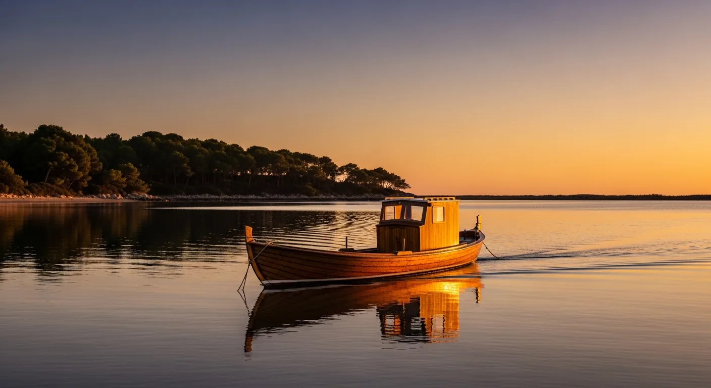
Are there stilt houses in Cap-Ferret?
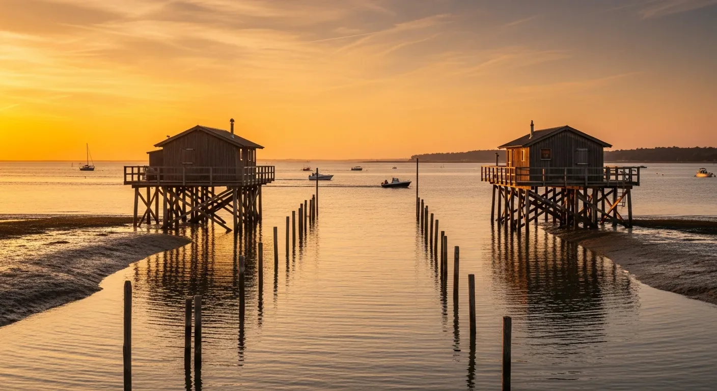
This is the most common misconception, and it needs to be clearly clarified. The famous “cabanes tchanquées”—those two little white-and-blue wooden houses perched on stilts, which have become the quintessential symbol of the Bassin—are not located on the Cap-Ferret peninsula. They stand on Île aux Oiseaux, a small island situated right in the middle of the Bassin, which belongs to the municipality of La Teste-de-Buch. From Cap-Ferret, you can only catch a glimpse of them in the distance, as you can from most of the shores: to really get close to them, you’ll need to take a boat tour. The island itself is a remarkable haven of biodiversity, covering about 300 hectares at high tide and more than 1,000 hectares at low tide, when the mudflats are exposed and attract flocks of migratory birds—hence its name.
Beaches: Ocean and Bassin
Cap-Ferret’s great advantage is that it has two radically different coastlines, just a few hundred meters apart. On one side is the ocean, raw and invigorating; on the other is the Bassin, warm and tranquil. You can spend the morning riding the Atlantic waves and the afternoon splashing around in calm waters—all you have to do is cross the peninsula by bike. This duality is unique and goes a long way toward explaining the area’s appeal.
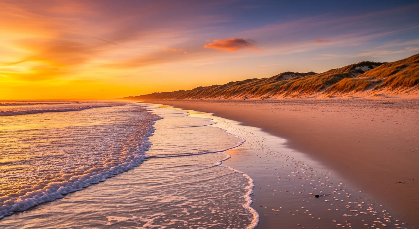
Ocean or Lagoon: Which Beach Should You Choose?
On the ocean side (to the west), the beaches are long, wild, and bordered by a line of dunes covered with marram grass. This is the realm of surfing, long walks on the sand, and invigorating swims in cool water—but also of rip currents, which you should be wary of. On the Bassin side (to the east), the scenery is quite different: small, sheltered beaches with calm, shallow water, ideal for young children and stress-free swimming. As a family, you can alternate: the Bassin in the morning for some peace and quiet, and the ocean in the late afternoon to watch the waves and enjoy the sunset over the Atlantic.
The contrast goes far beyond the water temperature. On the ocean side, the horizon stretches out, the swell carves the dunes, and the air smells of the sea: people come here to walk for kilometers without encountering many others, especially off the designated trails. On the Bassin side, the water recedes far at low tide, giving way to a vast foreshore where children splash around and fish with nets. Two atmospheres, two types of visitors, one peninsula—it’s this variety that lets you tailor your day to the weather, the wind, and the ages of your hikers.
Rip currents: The Real Danger Along the Coast
The ocean's charm has a downside that must be taken seriously: the baïnes. These basins, carved into the sand by the currents, empty abruptly as the tide goes out, generating powerful return currents capable of dragging a swimmer out to sea in a matter of seconds. This is the leading cause of drowning along the Aquitaine coast. The rule is simple and vital: swim only in supervised areas, between the flags. On the peninsula, there are three supervised ocean beaches — the Grand Crohot, the Green Tip and The Horizon — with lifeguard supervision provided, depending on the year, from around mid-June to mid-September. Outside the season or outside the marked areas, the ocean is meant to be admired, not challenged.
Nature and the Peninsula
What strikes you upon arriving in Cap-Ferret is the space given to nature. Here, there are no high-rises or concrete-lined waterfronts: low-rise villas hidden among the pine trees, bike paths winding through the trees, and trails running along the water. The entire peninsula is a delicate balance between the maritime pine forest, the dunes that protect the coast from the ocean, and the shores of the Bassin, where water and land vie for space with the ebb and flow of the tides.
Getting around by bike is the best way to go here: a network of shaded bike paths connects the villages, beaches, and the headland, away from traffic. It’s also the most enjoyable—and often the fastest in the summer—way to get from a lake beach to an ocean beach without worrying about parking, which quickly becomes a headache during peak season.
The Salt Marshes Nature Reserve
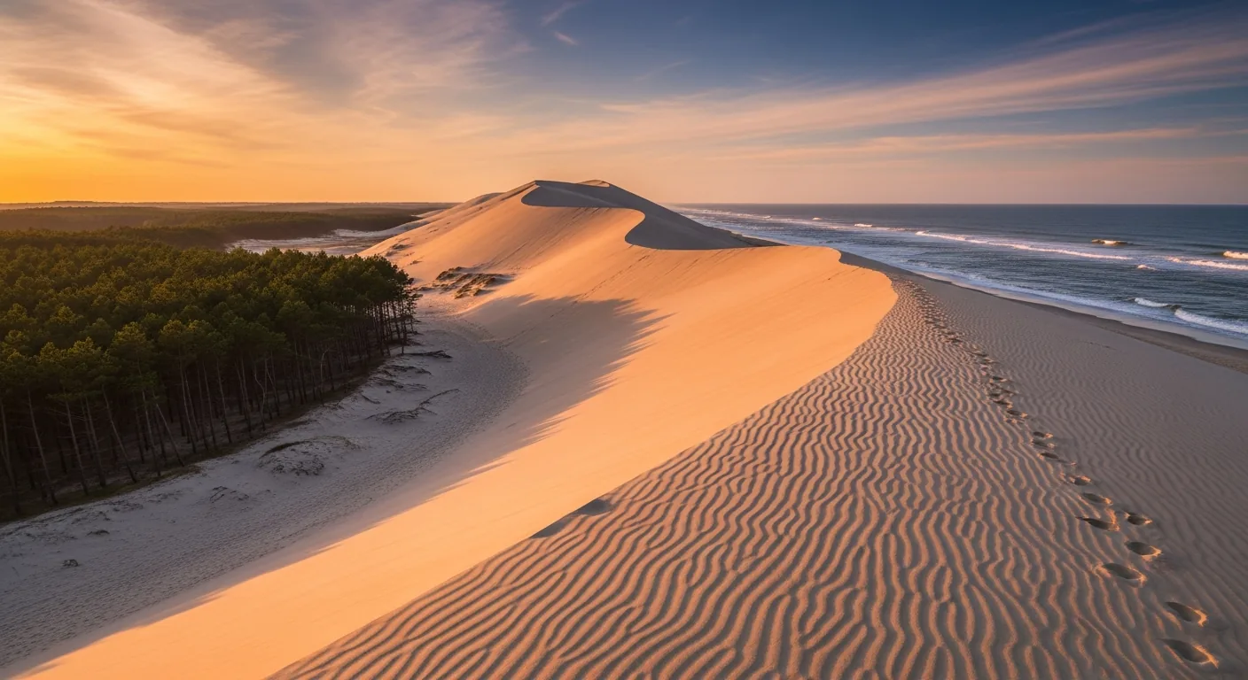
To the north of the peninsula lies an ecological gem that is all too often overlooked by visitors in a hurry: the Arès and Lège-Cap-Ferret Salt Marshes National Nature Reserve (RNN65). Established on September 7, 1983, it covers approximately 330 hectares, including nearly 200 salt marshes, and is divided between the municipalities of Arès and Lège-Cap-Ferret. These salt marshes, regularly submerged by the tide, form a rare and precious habitat: a nursery for fish, a stopover for migratory birds, and a refuge for salt-tolerant flora. Visitors can explore the area via designated trails, on foot or by bike. On the other side of the strait, on the south bank, the Dune du Pilat blocks the entrance to the basin—another natural wonder that’s clearly visible from the point and that, too, is worth a trip of its own.
The coastal trail, which follows the shore of the Bassin from one village to the next, offers one of the most beautiful routes across the peninsula: it connects the oyster harbors at water level, passes by the huts and pinasse boats, and gives you a sense of just how much life in Cap-Ferret revolves around the boundary between land and water. On the ocean side, the fragile and shifting dune ridge is protected by wooden fences and marked trails that must be followed to avoid damaging the dunes. Walking, biking, observing: the peninsula is best explored at a leisurely pace, when you take the time to read the landscape.
What to Do in Cap-Ferret?
In Cap-Ferret, you can spend an entire day without ever getting bored, as long as you go with the flow of the place: slow, dictated by the tides and the light. Spend the morning at the lighthouse and strolling through the villages, have lunch at an oyster shack, spend the afternoon between the ocean and the Bassin, and enjoy an aperitif as the sun sets. Climb the lighthouse’s 258 steps to take in the entire peninsula, bike from one shore to the other, stroll through the narrow streets of L’Herbe, take the little train to the ocean beach, or hop on the ferry for a getaway to Arcachon. There’s no shortage of things to do; the real luxury is not overbooking your schedule. Here are the must-dos to choose from based on your mood and the tide schedule.
- Climb to the lighthouse: 258 steps and the most beautiful view of the Bassin, the Dune du Pilat, and the ocean.
- Enjoy oysters at an oyster shack in L'Herbe or Le Canon, with your feet right at the water's edge.
- The Cap-Ferret Miniature Train: from the Bélisaire Pier (on the Bassin side) to the Horizon Ocean Beach, ~2 km in about ten minutes—a line that has been in operation since 1879.
- The ferry to Arcachon (UBA): from Bélisaire to the Thiers Pier, about a 30-minute crossing, year-round.
- The beaches: the ocean for surfing and wide-open spaces, the Bassin for peaceful family swimming.
- The Algerian Chapel of l'Herbe, the last remnant of the Algerian Villa, looks stunning at sunset.
- Cycling along the shaded paths that connect villages, beaches, and the headland, away from traffic.
- The port of La Vigne and its pinasses—the peninsula’s only marina.
A reminder that’s worth its weight in gold: if you’re swimming on the ocean side, be sure to stay within the supervised areas because of the rip currents. And be sure to check the tide schedule, since it affects just about everything—tasting sessions, walks along the foreshore, and the scenery itself.
| Activity | Good to Know |
|---|---|
| Climb up to the lighthouse | 258 steps · 360° panoramic view of the bay and the ocean |
| Tasting Oysters | L'Herbe and Le Canon Cabins · Best visited at low tide |
| Cap-Ferret Miniature Train | Bélisaire → Horizon Beach · ~2 km · in service since 1879 |
| Ferry to Arcachon | Bélisaire ↔ Thiers Pier · ~30 min · year-round |
| Ocean Beaches / Lagoon | Ocean-monitored at 3 beaches · Calm waters for children |
| Algerian Chapel | In L'Herbe · Neo-Moorish style · Listed as a historic monument |
| Cycling / La Vigne Harbor | Shaded paths · pinasse boats and pleasure boats |
Getting to Cap-Ferret from Bordeaux
The standard route between Bordeaux and Cap-Ferret covers 71 km for a fixed term of 1 hour 19 minutes. The daytime Eco fare starts at 134 €, confirmed in writing before the race. Traffic on the peninsula’s single road may affect the arrival time, but not the amount of a quote that has already been accepted.
How much does the ride cost?
A trip from Bordeaux to Cap-Ferret starts at €134 during the day for a sedan (1 to 3 passengers), door-to-door, one-way. The fare is fixed and confirmed in writing before departure: no meter running, no unpleasant surprises in traffic jams. Please note that there is a surcharge for nighttime, weekend, and holiday travel, as well as for upgrading to a van if there are more than four passengers or a large amount of luggage. Transfers to neighboring towns—Lège, Arès—and from Bordeaux-Mérignac Airport are available upon request for a quote.
| Route | Distance / Duration | Starting at |
|---|---|---|
| Bordeaux → Cap-Ferret | 71 km · 1 hr 19 min | starting at €134 |
| Cap-Ferret → Bordeaux | 71 km · 1 hr 19 min | starting at 134 € |
| Bordeaux-Mérignac Airport → Cap-Ferret | ~70 km · ~1 hr 15 min | based on a quote |
| Lège / Arès (neighboring villages) | near the peninsula | based on a quote |
| Same-day round trip with a layover | as scheduled | based on a quote |
Why hire a private driver?
The geography of the peninsula speaks for itself. It’s narrow, a dead end, accessible by a single road that gets jammed as soon as the weather turns nice, and parking spots are scarce and highly sought after. Being dropped off right in the village, then getting back on the road at your chosen time after an oyster tasting, makes all the difference in how comfortable your day is. The most compelling argument has to do with Arcachon: from the south shore, Cap-Ferret is only a half-hour boat ride away, but about 91 km and 1 hour and 30 minutes by car, since you have to drive all the way around the Bassin. Leaving from Bordeaux, you can head straight to the tip without worrying about this detour or parking—a precious time saver, especially in the height of summer.
Frequently Asked Questions
Is Cap-Ferret a municipality?
No, and that’s the most common mistake. Cap-Ferret is the headland and the most famous village in the municipality of Lège-Cap-Ferret (INSEE code 33236), in Gironde. This municipality comprises two very different areas: the town of Lège, inland, and the string of coastal villages that stretches all the way to the tip of Cap-Ferret. It has a year-round population of approximately 8,193—known as the Ferret-Capiens—spread across nearly 97 km² on a peninsula stretching between the Arcachon Basin and the Atlantic Ocean.
How much does a trip from Bordeaux to Cap-Ferret cost with a chauffeur service?
The Bordeaux → Cap-Ferret route starts at €134 during the day for a sedan (1 to 3 passengers), door-to-door, one-way. The fare is fixed and confirmed in writing before departure; the meter does not run during traffic jams. A surcharge applies for nighttime, weekend, and holiday travel, as well as when upgrading to a van for more than four passengers or for trips with a large amount of luggage. Transfers to neighboring towns and from Bordeaux-Mérignac Airport are priced on a quote basis.
How do I get to Cap-Ferret from Arcachon?
Two very different options. Across the Arcachon Bay, the UBA ferry connects the Thiers Pier in Arcachon to the Bélisaire Pier in Cap-Ferret in about 30 minutes, year-round: this is by far the fastest and most pleasant option. By road, on the other hand, you have to drive all the way around the Bassin, a distance of about 91 km and a 1-hour-30-minute trip. This dramatic difference explains why, even when you can see Arcachon right across the water from the cape, you can never reach it quickly by car.
How many villages are there on the Cap-Ferret Peninsula?
Nine oyster-farming villages line the shore of the Bassin from north to south: Claouey (including Le Four), Les Jacquets, Petit Piquey, Grand Piquey, Piraillan, Le Canon, L'Herbe, La Vigne, and finally Le Cap-Ferret. Each has its own harbor, huts, and atmosphere. Beware of copied-and-pasted lists: Bélisaire is a pier and a neighborhood of Cap-Ferret, not a village in its own right, and Le Pyla is located on the other side of the Bassin, in La Teste-de-Buch, with no connection to the peninsula.
Can you go to the top of the Cap-Ferret lighthouse?
Yes, you can visit the lighthouse and climb it. There are 258 steps—including sixteen metal ones at the very top—to reach the observation deck. The tower is 52.10 meters tall, and its summit rises about 62 meters above the sea. The reward is a 360° panoramic view of the Arcachon Basin, the Dune du Pilat, Île aux Oiseaux, and the Atlantic Ocean. Be sure to check the hours and opening dates before you go, as they vary by season.
Is the Cap-Ferret Lighthouse designated as a historic monument?
It is listed, but not classified—a distinction that matters, as these are two distinct levels of protection. The lighthouse was listed as a historic monument on November 6, 2009. The first lighthouse dated back to 1840; it was destroyed by German troops on the night of August 21–22, 1944, returned to service as early as 1947, and then rebuilt and inaugurated on August 7, 1949. It was restored in 2018. Its light, which flashes red every 5 seconds, has a range of approximately 41.7 km.
What is the Algerian Chapel of L'Herbe?
It is a small chapel in the Neo-Moorish style, officially named Sainte-Marie-du-Cap, built in 1884–1885 by architect Jean-Eugène Ormières and consecrated on September 8, 1885. It has been listed as a historic monument since 2008. It is the only remaining vestige of the Villa Algérienne, the sumptuous residence of Léon Lesca nicknamed “the Palace of the Pashas,” which was destroyed in 1965. Now owned by the municipality, its bell tower bears both a Christian cross and a crescent. It is most often photographed at sunset.
Where can you enjoy oysters in Cap-Ferret?
It’s best to head to the huts in the oyster-farming villages rather than a restaurant without a view. The most renowned spots are concentrated in L’Herbe and Le Canon, where the oyster farmers set up tables among the huts, right at water level. There, the oyster farmers sell their own oysters, often served with shrimp, pâté, buttered bread, and local white wine. Most traditional huts don’t take reservations: you just sit down and wait a little while, sipping an aperitif. It’s best to come at low tide, when the oyster beds are exposed.
Are there stilt houses in Cap-Ferret?
No, that’s a very common misconception. The famous “cabanes tchanquées”—those two iconic little houses on stilts that are emblematic of the Bassin—are not located on the Cap-Ferret peninsula. They stand on Île aux Oiseaux, in the middle of the Bassin, which is part of the municipality of La Teste-de-Buch. From Cap-Ferret, you can only catch a glimpse of them in the distance: to get closer, you’ll need to take a boat tour. The island covers about 300 hectares at high tide and more than 1,000 hectares at low tide.
Which beaches in Cap-Ferret are lifeguard-patrolled?
On the ocean side, three of the peninsula’s ocean beaches have lifeguard coverage: Grand Crohot, Truc Vert, and Horizon. Lifeguard coverage is provided there, depending on the year, from around mid-June to mid-September. Due to rip currents and back currents, it is strongly recommended that you swim only in these areas, between the flags. On the Bassin side, the beaches are calmer and more sheltered, making them ideal for children, but be mindful of the tides and the rapidly changing water depth.
What are baïnes, and are they dangerous?
Baines are depressions carved into the sand by currents along ocean beaches. At low tide, they empty suddenly and generate powerful rip currents that can drag a swimmer out to sea in a matter of seconds. Rip currents can generate powerful currents pulling swimmers out to sea. To minimize the risk, swim only in supervised areas, between the flags, and follow the lifeguards’ instructions posted on the day of your visit. Outside the swimming season or outside marked areas, the ocean is best admired rather than challenged.
When is the best time to visit Cap-Ferret?
Summer brings supervised beaches, open beach huts, and a lively atmosphere at its peak—but it also means crowds and congested roads. Spring and early fall are often the best compromise: soft light, peaceful villages, beach huts that are still open, and easier parking. No matter the season, check the tide schedule, as it affects oyster tasting, walks along the foreshore, and the scenery itself. A well-planned day alternates between visiting the lighthouse in the morning, enjoying oysters at noon, and spending the afternoon at the beaches, ending with a sunset over the ocean.
How long does it take to visit Cap-Ferret?
A full day is enough to take in the highlights: the lighthouse and its panoramic views in the morning, an oyster tasting at a beach hut at noon, then an afternoon split between a beach on the Bassin and an ocean beach, followed by an aperitif at sunset. To stroll through the ten villages, take the little train, treat yourself to a boat ride to Arcachon, and explore the salt marsh reserve, two to three days are well worth it. The peninsula is best savored slowly: it’s better to see less, but see it well.
Further Reading
- Book your trip from Bordeaux to Cap-Ferret — get a fixed-price quote in writing within 30 minutes, in a sedan or a van.
- All our destinations departing from Bordeaux — Arcachon Bay, Médoc, vineyards, and the coast.
- Arcachon Bay: Oysters, Villas, and the Dune du Pilat — A Complete Tour of the Bay, South Shore.
- Dune du Pilat: Access, Stairs, and Visitor Tips — Europe’s tallest dune, facing Cap-Ferret.
- Andernos-les-Bains: the pier, the oysters, and Saint-Éloi—the northeastern shore of the Bassin.
Sources and References
- Lège-Cap-Ferret Tourist Office — oyster-farming villages, heritage, beaches
- Cap-Ferret Lighthouse — Technical Specifications — Tower height: 52.10 m, 258 steps, designated a Historic Monument in 2009
- Mérimée Database / POP (Ministry of Culture) — lighthouse and chapel listed as historic monuments
- INSEE — Municipality of Lège-Cap-Ferret (33236) — Demographics, Area
- Arcachon Boatmen's Union (UBA) — Bélisaire ↔ Arcachon shuttle
Article updated on July 18, 2026.
Off to the Peninsula
Direct door-to-door trip from Bordeaux (1 hour 19 minutes), with no parking hassles in the summer. Enjoy oyster tasting right by the water, and return whenever you like. Get a written, fixed-price quote within 30 minutes.