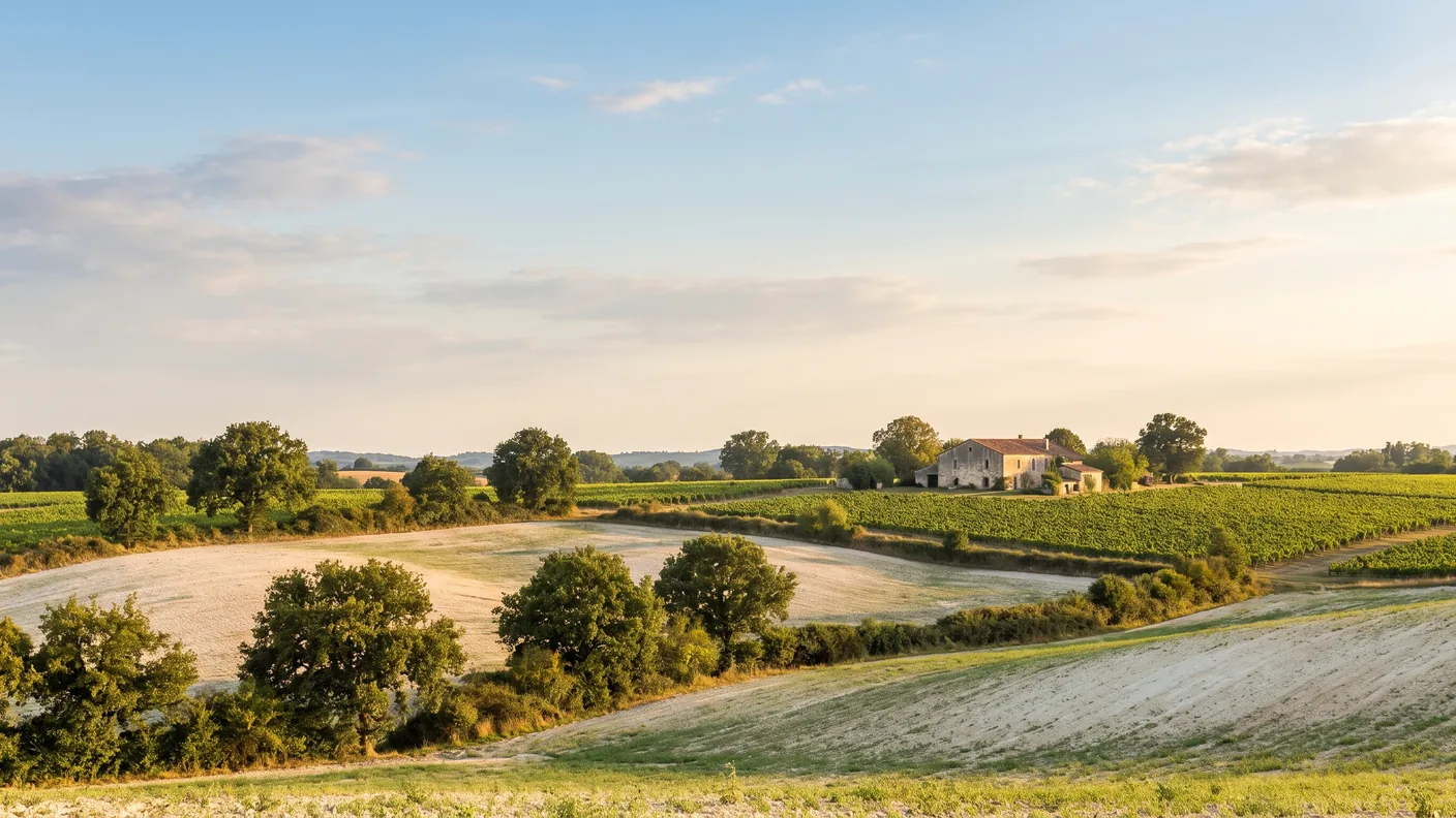
Champniers, the Romanesque church in the Angoulême region
A listed Romanesque church, one of the few “Passages Berrichons,” the exact geographic center of the Charente department, and a Cognac-producing region. Just north of Angoulême, Champniers is a peaceful base from which to explore the Angoumois region—1 hour and 45 minutes from Bordeaux.
Champniers at a Glance
Champniers (Charente) is a suburban town located immediately north ofAngoulême, whose life and main themes she shares. There, visitors can see a remarkable Sainte-Eulalie Romanesque Church, designated a Historic Monument in 1913 and featuring the extremely rare “Berrichon passages,” visitors can stroll through the the exact geographic center of the Charente department, where you can sample a cognac from the Fins Bois region. With its wash houses, spring-fed fountains, and wooded valleys, the village serves as a peaceful base from which to explore the entire Angoumois region—the cathedral, the ramparts, and the Angoulême Comic Book Festival are all less than a quarter of an hour away. Incidentally, its residents are not “Champnierois,” as is often written, but rather Chaniérauds. Count ~127 km from Bordeaux, about 1 hour and 45 minutes via the A10 and then the N10, or Starting at €223 with a private driver, door-to-door.
| Landmark | Details |
|---|---|
| Department | Charente (16) · Nouvelle-Aquitaine |
| Status | A municipality in the Greater Angoulême area, just north of Angoulême |
| Population | ≈ 5,281 residents (demonym: Chaniérauds / Chaniéraudes) |
| Must-Sees | Sainte-Eulalie Church (listed building) · geographic center of the Charente department · Fins Bois vineyard |
| From Bordeaux | ≈ 127 km · ~1 hr 45 min · starting at €223 by private car |
Let’s start by setting the record straight, since the name can be misleading. Its residents are not “Champnierois,” as is sometimes written: the official demonym is “Chaniérauds” for men and “Chaniéraudes” for women—a form that isn’t obvious from the town’s name and that even surprises our neighbors in Angoulême. There are also three “Champniers” towns in France, which should not be confused: ours, in Charente; another in Vienne, near Civray; and the former town of Champniers-et-Reilhac, in Dordogne. This guide focuses solely on the first one, the Charente town with the INSEE code 16078.
Champniers doesn’t have the look of a spectacular stopover town: it’s a rural village that, over the decades, has become the northern gateway to the Angoulême metropolitan area. Its charm lies in the details rather than in grand monuments—a first-rate Romanesque church, an unexpected geographical distinction, a Cognac-producing region, and a string of washhouses and fountains. This guide provides everything you need to know before visiting: the town’s exact location, what to see there, the story behind its historic church, how it relates to nearby Angoulême, and how to arrive well-rested from Bordeaux. Every fact cited here has been verified using the official sources listed at the end of the article.
Where is Champniers located?
Champniers is located in the department of Charente (16), in Nouvelle-Aquitaine—the former Poitou-Charentes region—in the Angoulême district and the canton of Gond-Pontouvre. The municipality is part of the Greater Angoulême Urban Community, on the northern edge of which it is located. Its territory, which is quite large for a suburban town, covers 45.29 km² for about 5,281 residents (2023 Census), which translates to a moderate population density of about 117 people per square kilometer: this is a typical in-between area—neither quite a city nor quite the countryside—where residential developments sit alongside woods, valleys, and vineyards. The town is crossed by the N10, the main highway between Bordeaux and Poitiers, which explains both its accessibility and its recent economic growth.
The best point of reference for understanding Champniers is Angoulême. The town lies immediately north of the metropolitan area, so close that the border between the two is hardly rural in some places. It borders Vars, Anaïs, Balzac, Brie, Gond-Pontouvre, and Ruelle-sur-Touvre. Its elevation ranges from 31 to 163 meters, forming a landscape of gentle valleys interspersed with streams and small woods. There are numerous localities here—Les Montagnes, Feuillade, Les Rossignols—a legacy of a scattered settlement of hamlets and farms, before the proximity of Angoulême brought everyone closer together. It is this gateway location, between the city and the agricultural region of Angoumois, that defines the character of the town.
How far is it from Bordeaux?
From Bordeaux, it’s about 127 km and a 1-hour-45-minute drive via the A10 highway heading north, then the N10, which runs through the town. The route is direct and straightforward: leave the city of Bordeaux, head due north, and you’ll arrive at the foot of the church or on the town’s shopping quays in just over an hour and a half. Champniers has the advantage of being located right on the road itself—the N10 cuts right through it—so you don’t have to navigate a maze of small local roads to reach it. This accessibility makes it a convenient base for exploring the entire Angoulême region without having to deal with downtown traffic.
| From Champniers | Driving distance | Duration |
|---|---|---|
| Angoulême (central France) | ≈ 9 km | ~15 min |
| Cognac | ≈ 47 km | ~43 min |
| Saintes | ≈ 75 km | ~1 hr 10 min |
| Bordeaux | ≈ 127 km | ~1 hr 45 min |
The airport shared with Brie
A quick note on a common misunderstanding: Champniers refers to a section of the Angoulême-Cognac Airport—formerly known as Angoulême–Brie–Champniers, IATA code ANG. Contrary to what the name “Angoulême-Cognac” suggests, this airport is not located in Cognac (which is about 40 kilometers away): part of its airfield lies within the territory of Champniers, which it shares with the neighboring town of Brie. So if someone refers to “Champniers Airport,” that’s only half true—the runway does indeed straddle two municipalities, but neither of them is called Cognac. This geographical clarification helps avoid many misunderstandings when planning a trip to the Angoumois region.
The Romanesque Church of Sainte-Eulalie
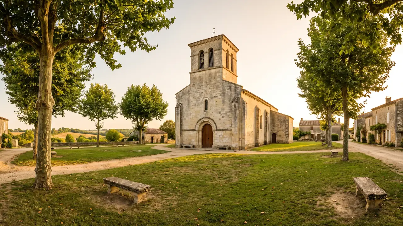
TheSainte-Eulalie Church is by far the most significant landmark in Champniers. It is a building novel whose origins date back to XIIe century, built on older foundations and remodeled several times over the centuries—in the 14the, in the 15the, in the 18the and in the 19th centurye — its façade having been rebuilt in the Neo-Romanesque style during a restoration carried out around 1863. She is designated a Historic Monument by order of February 10, 1913 (Instruction Manual PA00104280). Note the subtle distinction, which is often overlooked in rushed guidebooks: the church is not merely “listed”; it is ranked — the higher level of protection under French law, reserved for buildings whose heritage value extends beyond the local level.
This distinction between “registered” and “designated” is not merely a scholarly detail. In the Ministry of Culture’s official database, the prefix “PA” in the entry indicates actual protection as a Historic Monument, not to be confused with “IA” entries, which are simply part of an inventory and do not entail any protective measures. Sainte-Eulalie in Champniers does indeed belong to the first category: it has been protected as such since 1913, and it is the only monument in the municipality to hold this status. The other historic buildings in Champniers—residences and sites of local historical significance—have no protection as Historic Monuments; we will return to this point later.
Romanesque architecture featuring a single nave
The church's floor plan is characteristic of the simple yet powerful style of Charente Romanesque architecture. A single-nave leads to a transept, then to a semicircular apse a cul-de-four vault—that quarter-sphere dome that crowns the apse of Romanesque churches. At the transept crossing stands a dome, topped on the outside by a octagonal bell tower which makes the building stand out from afar in the rolling landscape. The facade, rebuilt in the 19the Dating from the 12th century, it features the semicircular portal and stepped arrangement characteristic of the Neo-Romanesque restoration of that period. The complex, massive and light-filled thanks to the region’s light-colored limestone, belongs to the large family of Romanesque churches in Charente, whose abundance is one of the department’s greatest treasures.
The rare “passages from the Berry region”
The real reason to visit lies in an architectural detail that few visitors can name: the “Berrichon passages.” These are side aisles that connect the nave and the apse to the transept, passing beneath the walls that separate them—an interior circulation system inherited from the great churches of Berry, where it is common, but which remains rare in Charente. At Champniers, their presence makes Sainte-Eulalie a textbook example for lovers of Romanesque architecture: they once allowed processions and the clergy to bypass the crossing without passing through the choir, and they illustrate how people lived and moved within a Romanesque building. This is the church’s defining feature—the one that makes it worth a visit beyond the mere pleasure of admiring the stonework.
Finally, a word about the name. The church is dedicated to Saint Eulalie, a Christian martyr of the 4the century — Eulalie of Mérida or Barcelona, depending on the tradition. This account should be taken for what it is: a figure ofhagiography, whose historical authenticity belongs more to the *Golden Legend* than to documented history. The verifiable fact here is not the saint’s life but the word of the building and its designation as a historic monument in 1913. Please also be careful not to confuse this Sainte-Eulalie with its famous namesake, the Sainte-Eulalie Church in Bordeaux, or with the towns in the Gironde department bearing the same name: the listed monument discussed here is indeed the Sainte-Eulalie Church from Champniers, in Charente.
| Element | Details |
|---|---|
| Style | Charente Roman, dating from the 12th century. |
| Protection | Listed as a Historic Monument — decree of February 10, 1913 (Mérimée PA00104280) |
| Map | Single nave, transept, semicircular apse |
| Distinctive feature | Dome beneath an octagonal bell tower · “Berrichon passageways” (rare in Charente) |
| Affiliation | Diocese of Angoulême, Saint-Amant-Gond Parish - Champniers |
The Geographical Center of Charente and Its History
Here is the key fact that defines Champniers, and it is verifiable: according to a calculation conducted by theNational Institute of Geographic and Forest Information (IGN) in 2016, the geographical center of the Charente department is located within the municipality's boundaries. Source: IGN, calculation published in 2016. In other words, if one were to seek the exact center of gravity for the entire department—the “tip of the compass” of Charente—this is where one would place it. The title obviously has no practical significance, but it beautifully captures Champniers’s position as a gateway, at the junction of the Angoulême metropolitan area and the Charente hinterland. It’s the kind of anecdote that gives a soul to a suburban town that one would be wrong to pass through without a second glance.
A parish with records dating back to 1599
Champniers's long history is evident in its archives. The parish registers—the precursors to civil records, where the clergy recorded baptisms, marriages, and burials—date back to 1599, providing the town with a continuous written history spanning more than four centuries. Such a concrete, dated reference is more valuable than many legends: it attests that an organized community lived here, centered around its church, at the turn of the 16th and 17th centuries, at a time when France was just emerging from the Wars of Religion. As for the town’s name, the accepted hypothesis traces it—hypothetically—back to a Gallo-Roman estate—a *Catumarium fundum*, “the estate of Catumer,” derived from the Gallic personal name *Catumaros*. This is an etymological hypothesis, not an established fact, and it must be presented as such.
The Spring Fountains and the Washhouse in Feuillade
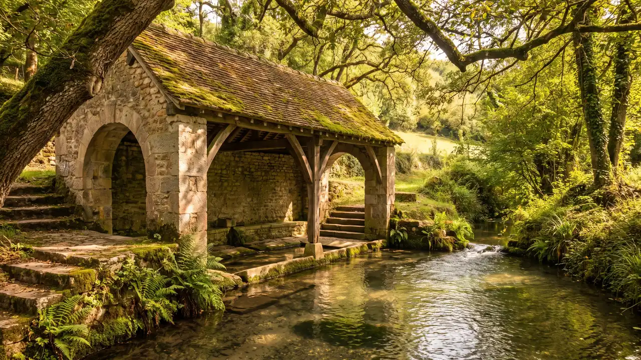
Champniers’s heritage isn’t limited to its grand church; it’s also found in the town’s small-scale water heritage—that unassuming string of fountains and washhouses that dot the countryside. The town preserves the Font Marran Fountain (in the hamlet of Les Rossignols), the Font des Poitevins, and the Font de Fontanson—all of which are developed springs where people once came to draw water, water their animals, and wash their clothes. The most charming of these structures is undoubtedly the Feuillade washhouse—and here, too, we must clear up a point of confusion: “Feuillade” here refers to a locality in Champniers, not to be confused with the town of Feuillade, located elsewhere in Charente. These springs and washhouses tell the story of daily life before running water, when each hamlet lived according to the rhythm of its own fountain.
The recent history of Champniers is that of a town that has been growing steadily since 1968, driven by the expansion of the Angoulême metropolitan area. At that time, it had 2,762 residents; the population has nearly doubled over the past half-century and now stands at nearly 5,300. This suburban growth—new housing developments, business parks, and the influx of families working in Angoulême—has transformed the old agricultural village into a residential and commercial town, without erasing its rural roots. It is this blend that strikes the visitor: a listed Romanesque church and wooded valleys on one side, a commercial district and major highways on the other. Champniers embraces its role as a gateway to the city rather than a picture-postcard village, and that is precisely what makes it a convenient logistics hub.
Charente-Style Houses
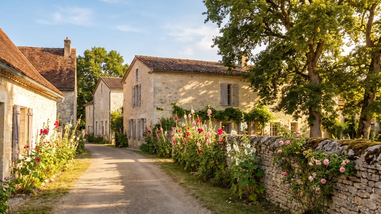
Like many towns in the Charente region, Champniers is home to several “logis”—these stone residences, halfway between a fortified farmhouse and a small castle, which once defined the landscape of the countryside surrounding their estates. The history of the town is linked to the fiefs and logis of Argence, Puy de Nelle, Breuil, Vouillac, and the Logis des Montagnes. These names recur in local chronicles and the area’s land history, bearing witness to a time when the countryside was a patchwork of manors and smallholdings. They are part of the landscape and collective memory of Champniers, offering the curious walker a few beautiful stone silhouettes to spot as they wander along the paths.
Local heritage, not listed castles
Let's be clear to avoid any disappointment: these accommodations are a local historical heritage, rather than monuments that are open to visitors. None of them are protected as historic monuments — In the official database, only the Church of Sainte-Eulalie is listed as a classified historic site. Therefore, they should not be presented as castles open to the public, nor should they be given a status they do not have: for the most part, they are private properties that can only be viewed from the outside. Be especially wary of the name "Breuil", a common occurrence in France: the Logis du Breuil listed on Champniers has no connection to the famous Château du Breuil in Normandy or to any brand of spirits. It is simply a local namesake—nothing more.
Another misconception deserves to be corrected, as it is circulating on certain heritage lists. The Tourgarnier Residence — a beautiful 16th-century mansione the century that, according to tradition, hosted Catherine de’ Medici and the young Charles IX during their visit in 1565—is located not at Champniers, but at Angoulême, at 189 Rue de la Tourgarnier. It belonged to the de La Place family. It is sometimes mistakenly associated with Champniers, likely due to its geographical proximity; we must give credit where credit is due to Angoulême. This precision in attribution applies to the entire Angoulême region, where neighboring towns and municipalities share a rich history and where monuments are easily misattributed to different municipalities in imprecise accounts.
The Terroir: Fins Bois Cognac and Saffron
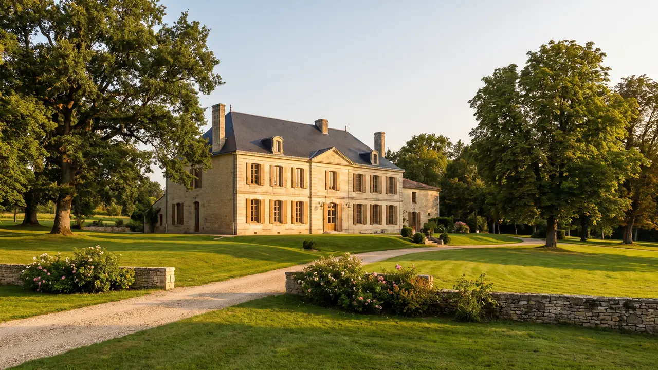
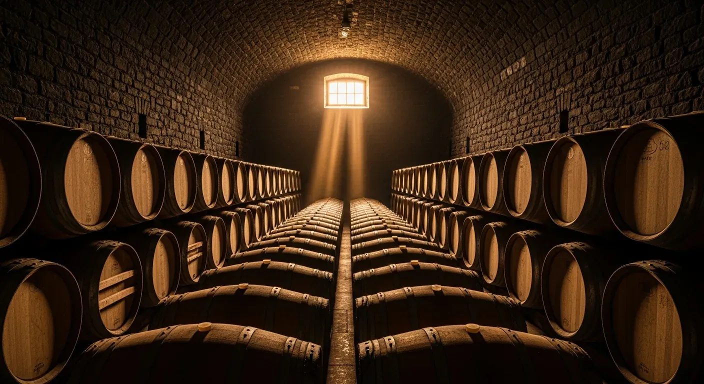
Champniers is also a wine-growing region, but it is important to pinpoint its exact place in the cognac hierarchy, as this is often misunderstood. The town is part of the cru of the Fine Woods of the Cognac appellation—and not of Grande or Petite Champagne, the two most highly regarded crus in the region. The Fins Bois form a vast outer ring around the central crus. The BNIC reports that by 2026, the entire appellation will cover more than 87,648 hectares, divided into six crus, without including an updated breakdown specific to the Fins Bois on this page. Source: Cognac.fr, “The Crus of the Cognac Appellation,” accessed in July 2026. To classify Champniers as a “Grande Champagne” terroir would therefore be an inaccurate overclassification. Nevertheless, the Fins Bois produce highly regarded eaux-de-vie—generally rounder and quicker to open up—that are used in the blends of the major houses.
Understanding the Six Cognac Grape Varieties
The Cognac appellation is divided into six crus, which are essentially “terroirs” defined by the nature of the soils. In the center, Grande Champagne and Petite Champagne, with their chalky soils, are renowned for producing the finest eaux-de-vie, best suited for long-term aging. Surrounding them, the Borderies—a smaller cru—contribute roundness and floral notes. Then, in concentric circles, come the Fins Bois—the cru of Champniers—the Bons Bois, and finally the Bois ordinaires, toward the coast. Each cru leaves its signature on the eaux-de-vie, which the cellar masters then blend to create their assemblages. Placing Champniers in the Fins Bois means situating it within the vast, fertile belt of the vineyard, at the gateway to the Angoumois region.
Saffron, the “red gold” of yesteryear
Here is a forgotten chapter in the history of Champniers that needs to be told in the past tense To avoid any misunderstanding: the town was long known for the cultivation of saffron, this “red gold” extracted from the stigmas of the Crocus sativus, once one of the most precious spices in Europe. They even held a Saffron Fair, December 11, a sign that production was substantial enough to warrant its own market. This labor-intensive crop—it takes tens of thousands of flowers to produce one kilo of spice—has long since disappeared from the landscape, but it remains part of the town’s agricultural heritage. It is therefore not a current activity that visitors would come to see, but a historical fact that adds an unexpected touch to the town’s portrait.
The local color of days gone by extends beyond saffron. Champniers also hosted livestock fairs on the 29th of every month—regular events in the rural economy where animals and produce were traded. In the early 20th century, the town was even served by a narrow-gauge railroad line connecting Angoulême to Saint-Angeau, operated by the Chemins de fer économiques des Charentes and locally nicknamed “the little Mairat ”—one of those slow-moving trains that crisscrossed the countryside before the advent of the automobile. Local history also mentions, though with some uncertainty, a small cardboard factory that is said to have operated at the Moulin Garraud, on the Argence River, during the same period. These are all traces of a modest industrial and commercial past, now long gone, but one that serves as a reminder that this town was thriving long before it became a green suburb of Angoulême.
What is there to do at Champniers?
Let’s be honest about what we’re here for: even in Champniers itself, we first visit a beautiful, historic Romanesque church and take a stroll through the countryside, with its valleys, washhouses, and fountains; but most of the action takes place in Angoulême, just a quarter of an hour away. That’s precisely what makes this town so appealing: a quiet base, away from the hustle and bustle of the city, from which you can easily explore the surrounding area. In Champniers and just outside Angoulême, you can admire the rare “Berrichon passages” of Sainte-Eulalie, set out in search of the Feuillade washhouse and the spring-fed fountains, take a walk through the town’s woods and valleys, venture as far as the Cité de la BD and the ramparts of Angoulême, shop at the market under the Halles, or treat yourself to a wine tasting in the cellars of the Fins Bois region. Here, specifically, are the activities that are worth the detour.
- Visit the Church of Sainte-Eulalie and look for its “Berrichon passages”—those side corridors connecting the nave and the transept, which are rare in Charente and easy to miss if you’re not looking for them.
- Look for the Feuillade washhouse and the fountains—Font Marran (at Les Rossignols), Les Poitevins, and Fontanson: a short water heritage tour that can be explored on foot or by bike.
- Take a stroll through the woods and valleys—oak and chestnut trees, elevations ranging from 31 to 163 meters, the Argence and Viville streams: the countryside around Champniers is perfect for leisurely walks.
- Get to Les Halles d'Angoulême (~15 min) — the 19th-century covered markete century-old market, open Tuesday through Sunday morning, featuring local products from the Charente region.
- Discover Saint-Pierre Cathedral in Angoulême—with its carved Romanesque façade, a true “comic strip in stone” ahead of its time—just a few minutes’ drive away.
- Stroll along the ramparts of Angoulême’s Upper Town—the “balcony of the Southwest”—and take in the panoramic view of the Charente Valley.
- Explore the painted walls and the Cité de la BD in Angoulême — monumental murals in the streets and the Cité internationale de la bande dessinée et de l'image.
- Taste a cognac from the Fins Bois region—the town and its surroundings are part of this appellation: the perfect opportunity for a cellar tour in the Angoumois wine region.
Plan on spending half a day exploring Champniers and its immediate surroundings—the church, a fountain tour, a walk in the forest—and a full day if you include Angoulême, which alone is worth several hours. The town is particularly well-suited to a “quiet base” approach: you stay or park in a peaceful spot in Champniers, and head into town for sightseeing without having to deal with traffic or the hassle of finding parking in the historic center. This is one of the great advantages of being driven: the driver drops you off at the foot of the ramparts and picks you up wherever you like, without you having to navigate the pedestrian zones and parking lots in the upper town.
| Activity | Where / When | Good to Know |
|---|---|---|
| Church of Saint Eulalie | Champniers Village | The only monument in the town designated as a historic monument (1913) |
| Fountains & Washhouse in Feuillade | Localities within the municipality | Small collection of source material, freely accessible |
| Forests and Valleys | The entire municipality | Elevation 31–163 m, oak and chestnut trees |
| Angoulême's Market Halls & Old Town | Angoulême, ~15 min | The market halls are open Tuesday through Sunday morning |
| Comic Book City & Murals | Angoulême, ~15 min | CIBDI, cathedral, city walls—to be combined |
| Fins Bois Cognac Tasting | The Angoumois Wine Region | If driving on the outskirts, have a driver available |
Forests, valleys, and streams
Behind its image as a suburban town, Champniers hides a truly rural landscape. The area features a landscape of gentle valleys, ranging in elevation from 31 to 163 meters, entirely within the Charente watershed—the great Charente River, which is part of the Adour-Garonne basin. It is not the Charente itself that flows through the town, but its network of small tributaries and streams, which carve out the valleys and nourish the woods. Here you’ll find oak and chestnut forests—tree species typical of the region’s soils—and a network of rural paths that invite you to explore on foot or by bike. It is this nearby natural setting, just a few minutes from the city, that gives Champniers its understated charm and allows it to offer the residents of Angoulême a green oasis right on the outskirts of the metropolitan area.
The Argence River and the streams in the town
The main waterway associated with Champniers is the Argence, a small stream about 4 kilometers long that originates in Jauldes and flows into the Charente River in Balzac, a neighboring town. In addition, there are the Champniers Stream and the Viville Stream, modest waterways that irrigate the area and once powered mills and washhouses. These waterways may not look like much, but they are the key to the landscape: they carved out the valleys, fed the spring-fed fountains, and dictated the location of the hamlets. The Argence River is even said to have supported a small-scale milling and industrial activity over the centuries. Following one of these streams on foot, beneath the canopy of trees, is the best way to understand the intimate geography of the town.
A Town in Full Bloom
Champniers takes great care in maintaining its living environment and has been awarded the national “Villes et Villages Fleuris” label, where it has been awarded two flowers—a distinction that recognizes the quality of the town’s floral displays and landscaping. This award, granted by a jury following an annual evaluation, recognizes green spaces as well as sustainable management and the quality of life; with two out of four flowers, Champniers ranks in the upper-middle range among participating municipalities, consistent with its profile as a lush, residential town. With its woods, valleys, fountains, and floral displays, the town cultivates an image of tranquil nature that contrasts with the N10 highway and the commercial district—the two complementary faces of a town gateway.
Angoulême, just fifteen minutes away
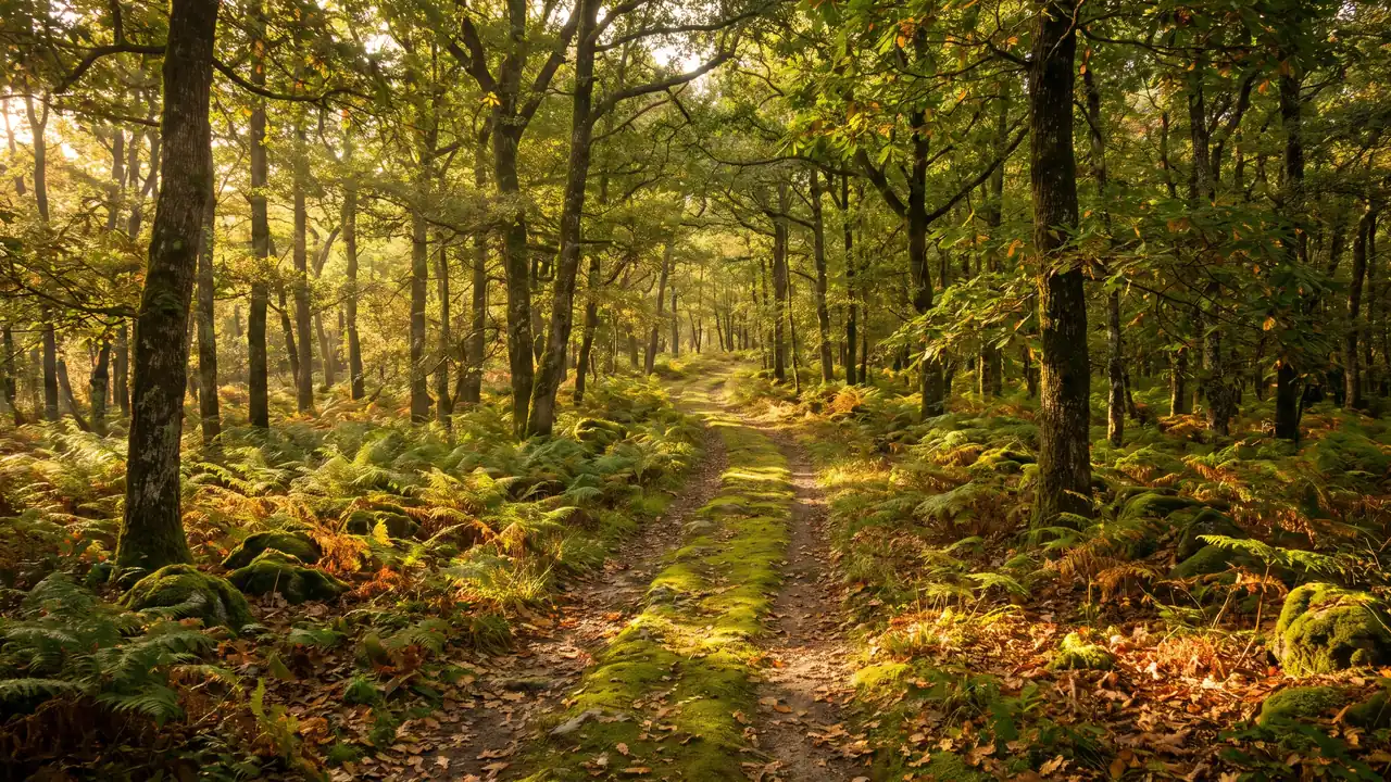
That’s the big advantage of Champniers: Angoulême is about 9 kilometers away—a 15-minute drive. The prefecture of Charente, the world capital of comics, is the main destination for excursions during your stay, and you’ll quickly see the value of staying in the peaceful setting of Champniers as a base from which to explore the city. Angoulême is perched on a plateau surrounded by ramparts, which has earned it the nickname “the balcony of the Southwest”: from the fortifications of the upper town, the view stretches far across the Charente Valley. The city blends ancient heritage and vibrant culture in a rare way, and you can easily spend an entire day there without exhausting all it has to offer.
The cathedral, the city walls, and the "comic book in stone"
Angoulême’s most iconic landmark is its Saint-Pierre Cathedral, a Romanesque masterpiece whose sculpted façade features a profusion of figures and scenes—so much so that it has been aptly described as a “comic strip in stone ” ahead of its time, an unwitting foreshadowing of the city’s current identity. All around runs the belt of ramparts encircling the Upper Town, an ideal scenic walkway for appreciating the city’s strategic location. Then there’s the Cité internationale de la bande dessinée et de l’image (CIBDI), a museum and cultural center located along the river, and above all the famous painted walls: dozens of monumental murals scattered throughout the streets, transforming the city into an open-air museum of the ninth art. The Angoulême Museum rounds out the offerings for lovers of archaeology and the fine arts.
The Comic Book Festival—Check Before You Come
The International Comics Festival is usually held in Angoulême in January, but its schedule and format are subject to change. Before planning your trip, check the Angoulême Tourism calendar to confirm the dates and access information for the specific edition.
The combination of Champniers and Angoulême makes for the perfect itinerary: choose Champniers for its tranquility, countryside, and Romanesque church, then head to Angoulême for the city, culture, and dining. A private driver makes this combination particularly seamless: they’ll drop you off at the foot of the ramparts or in front of the Cité de la BD, without you having to navigate the narrow streets of the upper town or search for parking in the city center, then take you back to Champniers or drive you elsewhere in the Angoumois region. It’s the most relaxing way to enjoy both sides of the Angoulême region in a single day—the countryside and the city.
About Champniers
Beyond Angoulême, Champniers offers a convenient starting point for exploring the major destinations in the Charentes region. The Cognac vineyards stretch just to the west, and two major cities are within easy driving distance: Cognac, the capital of brandy, and Saintes, the ancient Roman city on the Charente River. In less than an hour’s drive, you can travel from the Angoumois region of Champniers to the cellars where cognac ages, and then on to the ancient monuments of Saintonge—a distillation of everything the Charente and Charente-Maritime regions have to offer. This central location, which makes Champniers the geographic center of the department, is complemented by its practical centrality: we’re here at the intersection of the N10 and the N141, well-positioned to explore in all directions.
Cognac and Saintes Are Just a Short Drive Away
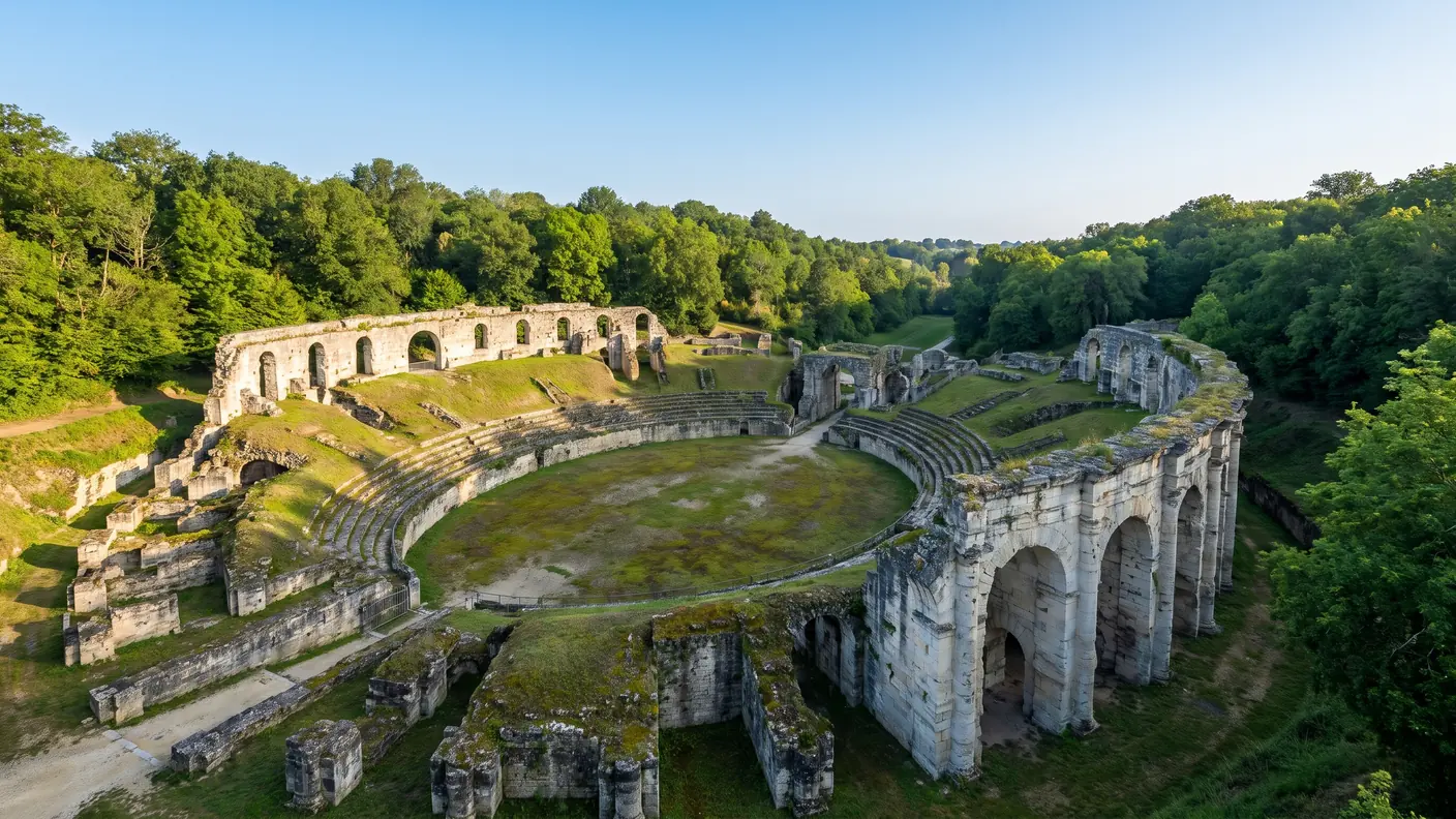
Cognac, about 47 kilometers away (a three-quarters-hour drive), immerses visitors in the world of brandy: trading houses, cellars where the precious liquid ages, and the Charente method of double distillation. Our guide to Cognac provides details on tours of the houses and the appellation’s six crus. Further west, Saintes, about 75 kilometers away (just over an hour), boasts an exceptional ancient heritage—a Roman amphitheater, the Arch of Germanicus, and Romanesque abbeys—which our Saintes guide brings to life. These two cities, along with Angoulême and the Fins Bois vineyards, make up a Charentes discovery itinerary that can be tailored to the time you have available, whether for one day or several.
| Destination | Distance | Must-See |
|---|---|---|
| Angoulême | ≈ 9 km | Cathedral, city walls, Comic Book City, murals |
| Cognac | ≈ 47 km | Brandy houses, wine cellars, the neighboring Fins Bois vintage |
| Saintes | ≈ 75 km | Roman amphitheater, Arch of Germanicus, abbeys |
How to Get to Champniers from Bordeaux
The easiest way to explore Champniers and the Angoulême region from Bordeaux is to take the direct route via the A10 and then the N10. With a private driver, you’ll depart from your home or Bordeaux-Mérignac Airport and arrive right outside the church in Champniers—or directly in Angoulême—without having to worry about parking or train connections. This is particularly convenient for a suburban town with limited rail service: unlike Angoulême, which has a train station, Champniers is much more easily reached by road, and the door-to-door service eliminates the need to transfer between the train station and the town.
How much does the ride cost?
The route from Bordeaux to Champniers covers about 127 km in 1 hour 45 minutes via the A10 and N10. Our rates starts at €223 During the day, for a sedan carrying up to 3 passengers, a fixed price confirmed in writing before departure—no meter, no surprises upon arrival. The exact quote depends on the specific pickup address, the time of day (a surcharge applies at night, on weekends, and on holidays), and the vehicle chosen—a sedan or a van. Since the N10 runs through the town, drop-off is direct, whether to the town center, the Montagnes shopping area, or Angoulême Airport, which is partially located within the town’s boundaries.
| Route | Distance | Duration | As soon as |
|---|---|---|---|
| Bordeaux → Champniers | ≈ 127 km | ~1 hr 45 min | 223 € |
| Bordeaux-Mérignac Airport → Champniers | ≈ 130 km | ~1 hr 35 min | based on a quote |
| Champniers → Angoulême (extension) | ≈ 9 km | ~15 min | based on a quote |
Why choose a private driver?
A private driver makes your day: you can read, relax, or plan your visit during the ride, you’ll be dropped off right near the church or the ramparts of Angoulême, and we’ll pick you up wherever you’d like—in the village of Champniers, at the exit of Les Halles d’Angoulême, or after a tasting at a Fins Bois winery. This option is ideal for an outing with family or friends in the Angoumois region—without needing a designated driver, which is especially valuable when the itinerary includes cognac—as well as for a business trip or a transfer to Angoulême Airport. The vehicle is clean, air-conditioned, equipped with water, and driven by a uniformed driver, and you travel at your own pace, free from train schedule constraints. Find all our routes on the Destinations page.
Frequently Asked Questions
How much does a private driver from Bordeaux cost on Champniers?
The trip from Bordeaux to Champniers (approximately 127 km, 1 hour 45 minutes via the A10 and then the N10) starts at 290 € during the day for a sedan carrying up to 3 passengers. The price is fixed, confirmed in writing before departure, with no meter. The exact amount depends on the pickup address, the time of day, and the vehicle chosen—a sedan or a van.
How long does it take to get from Bordeaux to Champniers?
Allow about 1 hour and 45 minutes by car—127 km via the A10 highway heading north, then the N10, which runs through the town. The route is direct, with no detours or changes in route, making door-to-door travel particularly convenient: drop-off is directly in the town center, at the Montagnes shopping district, or at Angoulême Airport, part of whose runway is located within the Champniers area.
Is the Sainte-Eulalie Church in Champniers a designated historic site?
Yes. The Church of Sainte-Eulalie was designated a Historic Monument by decree on February 10, 1913 (Mérimée entry PA00104280)—the highest level of protection, which is distinct from a simple listing. It is a 12th-century Romanesque building with a single nave, a transept, and a semicircular apse, topped by an octagonal bell tower. It is the only protected monument in the town.
What are the “Berrichon passages” in the church at Champniers?
These are side aisles that connect the nave and the apse to the transept, passing under the walls that separate them. Common in churches in the Berry region, they are rare in Charente, making Sainte-Eulalie de Champniers a remarkable example. They once allowed the clergy and processions to bypass the transept without crossing through the choir.
Why is Champniers said to be the heart of the Charente?
According to a calculation by the IGN conducted in 2016, the geographic center of the Charente department lies within the territory of Champniers—the exact center of gravity of the entire department. While this designation has no practical implications, it clearly illustrates the town’s position as a gateway between the Angoulême metropolitan area and the Charente hinterland.
What are the residents of Champniers called?
The residents of Champniers are called Chaniérauds (masculine) and Chaniéraudes (feminine). Contrary to what is sometimes written, they are not called “Champnierois”: the demonym is not derived from the name of the town, which makes it a curiosity for lovers of place names. This is a peculiarity that often surprises even the neighbors in the Angoumois region, and it’s worth knowing before you visit.
Is the cognac from Champniers from Grande Champagne?
No. Champniers is classified as a Fins Bois cru within the Cognac appellation, not as part of Grande or Petite Champagne. The BNIC lists Fins Bois as one of the appellation’s six crus, whose total vineyard area will exceed 87,648 hectares by 2026. Classifying it as a Grande Champagne terroir would be an inaccurate overclassification.
Is the Angoulême Airport located at Champniers?
Partly. The Angoulême-Cognac Airport, formerly known as Angoulême–Brie–Champniers (code ANG), is located within the territory of Champniers, which it shares with the neighboring municipality of Brie. Despite its name, it is not located in Cognac, which is about 40 kilometers away. We can therefore refer to it as “Champniers Airport,” but it straddles two municipalities.
What is there to do at Champniers?
In Champniers itself, you can visit the Romanesque Church of Sainte-Eulalie and its Berry-style passageways, explore the Feuillade washhouse and the spring-fed fountains, and take a stroll through the town’s woods and valleys. Just a quarter of an hour away, Angoulême offers its cathedral, ramparts, the Cité de la BD, murals, and the Halles market. The Fins Bois area is also perfect for a cognac tasting.
Is Angoulême close to Champniers?
Yes, very close: Angoulême is about 9 kilometers—a 15-minute drive—south of Champniers. The town serves as a northern gateway to the metropolitan area. That’s the great advantage of Champniers: a quiet base from which you can easily explore the cathedral, the ramparts, the Cité de la bande dessinée, and the murals of the comic book capital.
Are there multiple Champniers locations in France?
Yes, there are three places with this name, and they should not be confused: Champniers in Charente (the subject of this guide, INSEE code 16078), Champniers in Vienne, near Civray, and Champniers-et-Reilhac, a former commune in Dordogne. This guide focuses solely on the commune in Charente, just north of Angoulême: it is home to the listed Sainte-Eulalie Church and the geographic center of the Charente department.
Can the driver combine Champniers, Angoulême, and Cognac?
Absolutely. Angoulême is a 15-minute drive from Champniers, and Cognac is a 45-minute drive (~47 km). Many customers combine a visit to the church and the countryside around Champniers, a day in Angoulême, and a tasting in Cognac—all with the same driver who handles the routes and schedules. It’s the ideal option when cognac is on the agenda and you don’t have a designated driver.
Does the price change at night or on the weekend?
A surcharge may apply at night (7:00 p.m.–6:00 a.m.), on weekends, and on holidays, as is the case for all our trips. The fare is always communicated and confirmed in writing before departure: you’ll know the exact price when you book, with no meter and no unpleasant surprises upon arrival at Champniers or elsewhere in the Angoumois region. The quote also depends on the pickup address and the vehicle you choose—a sedan or a van.
Further Reading
- The Comic Book Capital: See the Angoulême Guide (the cathedral, the ramparts, and the Cité de la bande dessinée, 15 minutes from Champniers)
- The Cognac Capital: see the Cognac Guide (cognac houses and the 6 crus, ~47 km away)
- The Rome of Aquitaine: see the Saintes Guide (the Roman amphitheater and the abbeys, about 75 km away)
- Book your trip: book online or browse all our destinations
Sources and References
- Champniers Town Hall — church, washhouses, heritage, activities
- Mérimée Database / POP (Ministry of Culture) — Sainte-Eulalie Church, a listed historic site (PA00104280)
- Angoulême Tourism / Greater Angoulême — Angoulême and Surrounding Areas, Events Calendar
- INSEE — Municipality of Champniers (16078) — Demographics
- Cognac.fr / BNIC — the crus of the Cognac appellation — six crus and vineyard area, accessed in July 2026
- IGN — Geographical Centers of the Departments — Calculation published in 2016
Article updated on July 17, 2026.
Off to the Angoulême region
Direct transfer from Bordeaux (~1 hr 45 min via the A10/N10) to Champniers, with its Romanesque church, and Angoulême, just fifteen minutes away. Written, fixed-price quote with no obligation.