
Bordeaux to La Chapelle-Grésignac : a feudal motte at the edge of Périgord
103 residents and a feudal mystery : a castle mound first mentioned in 1243, a territory that was once an enclave of Angoumois in the heart of Périgord, ruled by seneschals from Charente. Two old churches and a rural landscape on the edge of the region. About 1 hour and 56 minutes from Bordeaux.
La Chapelle-Grésignac at a Glance
- La Chapelle-Grésignac (the residents of Chapelle) is a very small town in the Ribéracois , in the Dordogne (24320), about 6 km from Verteillac — INSEE code 24109, Ribérac canton.
- A tiny territory covering 6.95 km² , with a population of 103 in 2023 [1] (population density ~15 people/km²), featuring gentle terrain ranging from 78 to 174 meters.
- Its treasure: a castle mound —the castrum of Grésignac, first mentioned in 1243 ( POP, entry IA24000866 ) under the name “Greziniaco”—one of the best-documented in northern Périgord.
- A rare occurrence: in the Middle Ages, this territory formed an enclave of the Angoumois region right in the heart of the Périgord , falling under the jurisdiction of the Diocese of Angoulême rather than that of Périgueux.
- The mound, a truncated cone of earth, is neither classified nor listed [2] as a Historic Monument—it is merely recorded in the General Inventory.
- It was held by the lords of Lageard , a family from Angoumois that served as the hereditary Grand Seneschal of Angoumois.
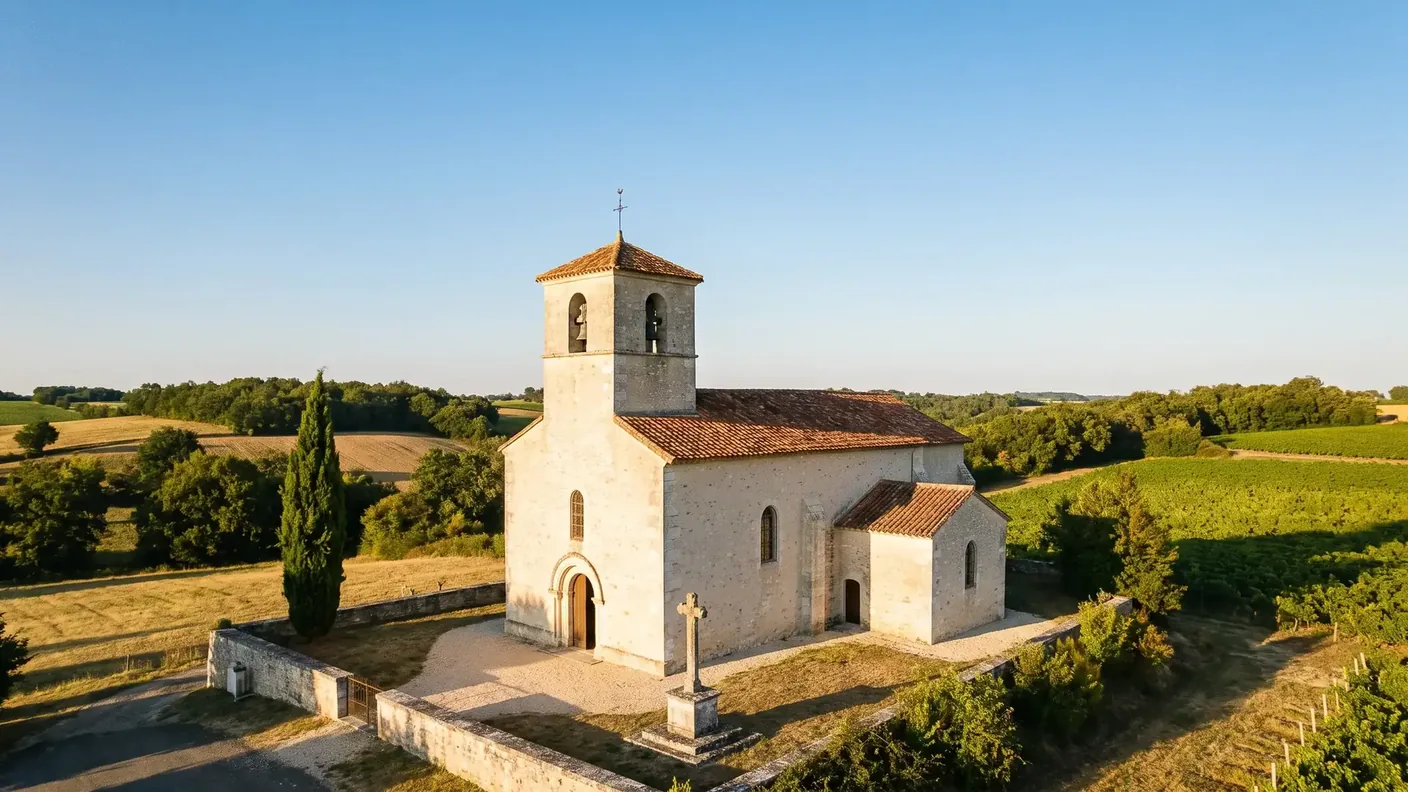
- Two churches share the village's heritage: the Romanesque Saint-Jean ( POP, entry IA24000839 ) (12th century, in ruins) and Saint-Étienne ( POP, entry IA24000840 ) (17th century), located in the village center.
- From Bordeaux: ~131 km , about 1 hour 56 minutes by car — starting at €230 for a private driver, door-to-door.
Before You Go: What La Chapelle-Grésignac Really Is
One autumn morning, on the hills above Grésignac. In a meadow bordered by hedges, a large mound of earth crowned with grass stands, encircled by a ditch still visible today. At first glance, nothing suggests that one is standing at the foot of a fortress: the woods that once covered it have been gone for eight centuries. And yet, this motte—first mentioned as early as 1243—once commanded the Pude Valley, held by a family from Angoumois. For here, in the heart of the Périgord, people once lived “the Angoumois way.” Welcome to La Chapelle-Grésignac, population 103, and a feudal mystery.
La Chapelle-Grésignac is one of those tiny villages in the Ribérac region that you don’t just happen to pass through. Its appeal lies in three interconnected factors: a remarkably well-documented castle mound , its unique status as an Angoumois enclave within Périgord territory, and two old churches. It is a microcosm of feudal history in the borderlands, where the medieval political map did not align with the borders we now consider natural.
This guide distinguishes between verified facts and anecdotal accounts. On such a little-known site, local scholarship has run wild: the dimensions of the motte are sometimes misunderstood, excavations are attributed to various researchers, and an etymology is presented as certain. We present these details with caution, distinguishing between sourced facts (the 1243 mention, the Angoumois enclave, the two churches) and scholarly tradition. One point to note right away: the motte is listed as cultural heritage but is not protected as a Historic Monument.
As for access, the village is off the beaten path: there are no national highways, just three small departmental roads. To get here from Bordeaux—about 1 hour and 56 minutes—and explore the motte, the Romanesque ruins, and the countryside on the border between Périgord and Angoumois, hiring a chauffeur service from Bordeaux remains the simplest door-to-door option.
103 residents on the border between two provinces
A village perched on a ridge above the Pude River
La Chapelle-Grésignac occupies the northwestern quarter of the Dordogne department, in the Ribérac region , a few kilometers from the Charente border. It is a region of low limestone plateaus where the view stretches far into the distance. The village perches at an elevation of 112 meters on a ridge overlooking the Pude Valley—a small stream, a tributary of the Lizonne, that shapes the entire landscape of the municipality. A second settlement, the hamlet of Grésignac , lies one kilometer to the east: it was there that most of the area’s feudal history unfolded.
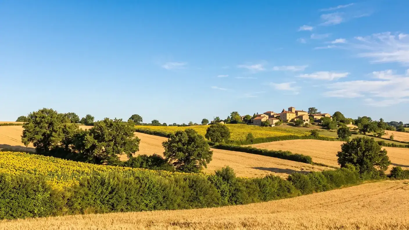
A minor point of terminology, by the way: depending on the source, the village is said to be located “in the Pude Valley” or “in the Lizonne Valley.” Both are true—the Pude is a tributary of the Lizonne , and the municipal territory lies within the Lizonne’s watershed via the Pude. Here, we’ll be referring to the Pude, the stream that actually flows through the town and powers its mills.
One of the smallest areas in the Ribérac region
The municipality is one of the smallest in the area—6 .95 km² —which explains its small population. It borders only four municipalities : Cherval, Champagne-et-Fontaine, Nanteuil-Auriac-de-Bourzac, and Saint-Martial-Viveyrol (the territory of Gout-Rossignol, located very close to the east, does not border it, however). No national highways run through it: only the departmental roads RD 100, RD 101, and RD 102 serve the town and its hamlets.
| Data | Value |
|---|---|
| ZIP Code / INSEE | 24320 / 24109 |
| Natural Region | Ribéracois, Périgord Vert |
| Canton / Intermunicipal Association | Ribérac / Community of Communes of the Ribéracois Périgord |
| Area | 6.95 km² |
| Elevation | 78 m (Galy Mill) to 174 m; town center 112 m |
| Waterways | the Pude (a tributary of the Lizonne) |
| Population | 103 residents (2023) — the residents of Chapelle |
| Density | ~15 people per square kilometer |
Two notes from a geographer, for those who value accuracy. The town is located in 45°23′40″ north latitude and 0°20′18″ east longitude — almost on the Greenwich Meridian, which is quite unusual for a village in the Southwest. And, like all French municipalities, it has, two official areas : the cadastral area ( 6.95 km² , that of administrative boundaries) and the geographic area (6.97 km², measured on the ground). The two-hectare discrepancy is due to differences in measurement methods; the cadastral value is the official reference. As for distances, they can easily be misleading in this country of small roads: Ribérac is 16 km away as the crow flies , but at ~18.4 km by road (about 20 minutes), and Périgueux, at 38 km as the crow flies Toward the southeast, the cost is nearly double on the departmental roads.
Demographics of a micro-municipality
In terms of demographics, INSEE reports a population of 103 in 2023 (down 4.63% since 2017); other sources cite a population of around 100, depending on the data year. The discrepancy stems from differences in counting methods. What is certain is that La Chapelle-Grésignac belongs to the category of rural municipalities with very scattered settlements, outside any urban area, that dot the Ribérac region.
Local government, meanwhile, continues at the village level: the municipality is administered by a mayor — Philippe Bogaert , whose term began with the March 2026 municipal elections — and remains part of the Périgord Ribéracois community of municipalities , which pools the services that a town of 100 residents cannot provide on its own.
The Grisinius Estate: A Cautious Etymology
A name ending in -ac, dating back to antiquity
The name consists of two parts. “Grésignac” is a classic name ending in “-ac” (from the Latin suffix -acum , meaning “estate of”): it is thought to date back to a Gallo-Roman landowner, whose name remains hypothetical—sources tentatively suggest Grisinius (or Gracillius). To be honest, this ancient name is not attested in any inscriptions; “the estate of Grisinius” is a plausible toponymic reconstruction, not a certainty.
Eight Centuries of Written Forms
« The Chapel ", the second element, refers to the local religious building. The traditional forms demonstrate a beautiful continuity: Capella de Grazinhaco In the 13th century, The Gresinhac Chapel in the 16th century, while the hamlet appears “ (in the fortress of) Greziniaco "as early as 1243—the very mention of the motte. Cassini's map (18th century) notes 'Grezignac,' and the Occitan form is The Chapel of Gresinhac . As early as the 13th century, the name already combined “chapel” and “Grésignac” in a form very similar to the current one.
| Period | Attested form | What It Tells Us |
|---|---|---|
| 1243 | “(in castro de) Greziniaco” | First written mention—and evidence of a castrum dating back to the 13th century |
| 13th century | "Capella de Grazinhaco" | The name already combines “chapel” and “Grésignac” |
| 1318–1322 | "Grezinhaco" | Occitan spelling of the hamlet |
| 16th century | "The Gresinhac Chapel" | The compound name, which is almost final |
| ~1756–1789 | "Grezignac" (Cassini map) | The royal map marks the hamlet |
| Limousin Occitan | "La Chapela de Gresinhac" | The Living Form in the Local Language |
This little table speaks louder than a long speech: it shows a remarkable artistic continuity spanning nearly eight centuries , from the notarial Latin of 1243 to the Occitan still spoken in the 20th century. The 1243 form is the most valuable: the “ in Castro de "The phrase preceding 'Greziniaco' clearly establishes the existence of the castrum as early as the 13th century — This is the official record of the motte's origins, upon which the entire story that follows is based.
1243: The Grésignac Castle Mound
What the 1243 Text Says
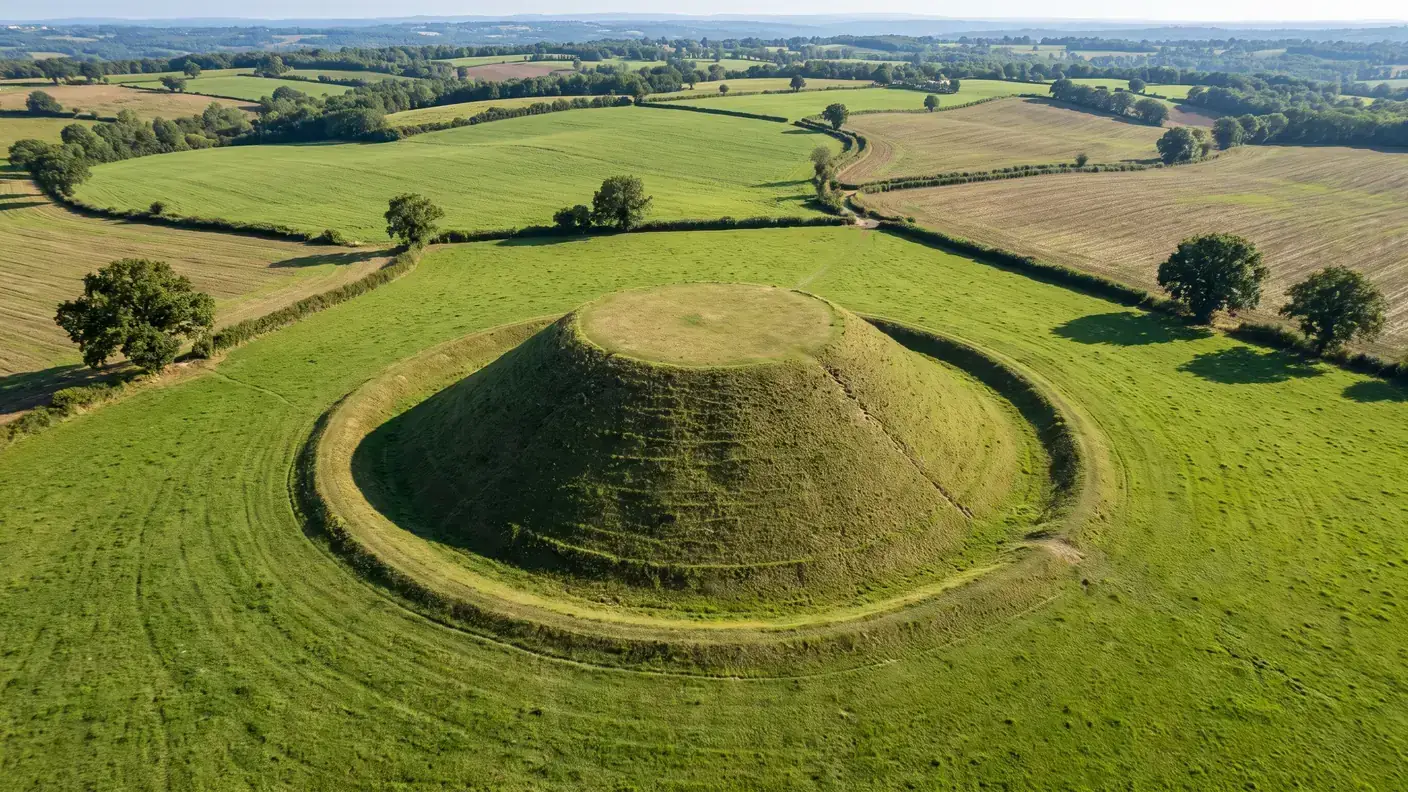
La Chapelle-Grésignac has one of the earliest dated written references in the Ribérac region for this type of fortified site. In 1243 , a text cites the castrum under the name “ Greziniaco ". The Latin word castrum refers to a fortified site—usually a motte and its outbuildings—that served as a seigneurial residence and a military checkpoint. The date of 1243 does not indicate when the motte was built: these earthen structures most often date from the 11th–12th centuries , as confirmed, in fact, by the dating used in the cultural heritage inventory.
A mound that's smaller than people say
The mound takes the form of a truncated cone , topped by an oval summit terrace —the typical silhouette of these fortifications. A word about its dimensions, which are often misreported: sources give a circumference of about 350 feet (equivalent to a perimeter of ~115 meters, with a base diameter of barely thirty meters). It is therefore not a colossal structure, but a sizeable mound that nonetheless required considerable earthwork—carried out as compulsory labor—by the local peasants. The site rises to 146 meters.
Wooden dungeon, castle courtyard, and knights of the castle
Its layout followed the classic design of 11th- and 12th-century motte-and-bailey castles: on the terrace stood a wooden keep where the lord or his castellan resided, overlooking the entire Pude Valley; below, a bailey housing the outbuildings and the quarters of the castle’s knights (the milites castri ). A century later, in 1365 , the site of Grésignac was officially incorporated into the castellany of La Tour-Blanche —whose seat fell under the jurisdiction of Angoumois. It is this incorporation that leads us to the village’s most striking feature.
An enclave of the Angoumois region in the heart of the Périgord
Living the “Angoumois way” in the Périgord region
Here is the most unusual aspect of the history of La Chapelle-Grésignac. Throughout the Middle Ages and much of the Ancien Régime, this territory—although geographically part of the Périgord—belonged to the Diocese of Angoulême , rather than that of Périgueux. In addition, since 1365, it had been feudally attached to the castellany of La Tour-Blanche , itself a possession of Angoulême. Politically and religiously, Grésignac thus lived “in the Angoulême style,” even while being surrounded by parishes that were entirely part of the Périgord region: a true enclave .
Such enclaves are the result of the complex history of feudal succession—marriages, inheritances, and acquisitions—that reshaped the map of the Southwest between the 10th and 14th centuries. A family from Angoulême acquired rights to this small territory, and those rights were maintained administratively for centuries. This serves as a useful reminder: the border we consider natural—that of the Dordogne—is a recent creation (1790) that only roughly corresponds to the territories inhabited by medieval populations.
The Lords of Lageard, Seneschals of Angoumois
The lords who held the motte were the Sirs of Lageard , a family from Angoumois who held the lordships of Grésignac and Cherval (the neighboring town, where their Château du Bourbet was located). They were not mere squires: the Lageards were hereditary Grand Seneschals of Angoumois , a position of great prominence. One of their own, Hélie de Lageard , was even mayor of Angoulême in 1504 and a close associate of the future King Francis I; the office of seneschal remained in the family until Pierre de Lageard, who died in 1830. Their allegiance to Angoumois, rather than to Périgord, perfectly illustrates the fluidity of feudal boundaries: it was not geographical boundaries that determined a lineage’s affiliation, but rather ties of homage and inheritance.
A parish centered on Aubeterre
The enclave was not merely visible on the feudal map; it also shaped religious life. As early as the 13th century , the chapel of Grésignac fell under the jurisdiction of the chapter of Aubeterre —Aubeterre-sur-Dronne, now in Charente, which at the time was firmly rooted in the Angoulême region. This early affiliation is entirely consistent with the territory’s belonging to the Diocese of Angoulême : tithes, appointments of clergy, spiritual jurisdiction—everything passed through Angoumois. Traces of this can be found even in the history of the Church of Saint-Étienne, long considered a mere “annex chapel” of Aubeterre. For the inhabitants of the Middle Ages, being a resident of Chapelle thus meant looking to Angoulême for taxes, the lord, and the parish—while living, geographically speaking, in the heart of the Périgord.
What the site reveals—and its fragile status
Presumed wells, cavities, and underground passages
Few mounds of this size in the Périgord are documented in such detail—even if this documentation is based primarily on local lore , which should be treated with caution. Several observers have examined the site over the years: Christian Carcauzon identified the opening of a well that was partially blocked at the top, as well as notches for descending; Serge Avrilleau reported a cluttered horizontal cavity at the rear of the dome. There is also tentative mention of silo cellars and pottery from the 11th–12th centuries—discoveries reported more by scholarly tradition than by published excavation reports. Most of this knowledge is compiled in a recent book (Noël & Stevens, *Souterrains et mottes castrales* , 2022).
What Remains Visible on the Ground
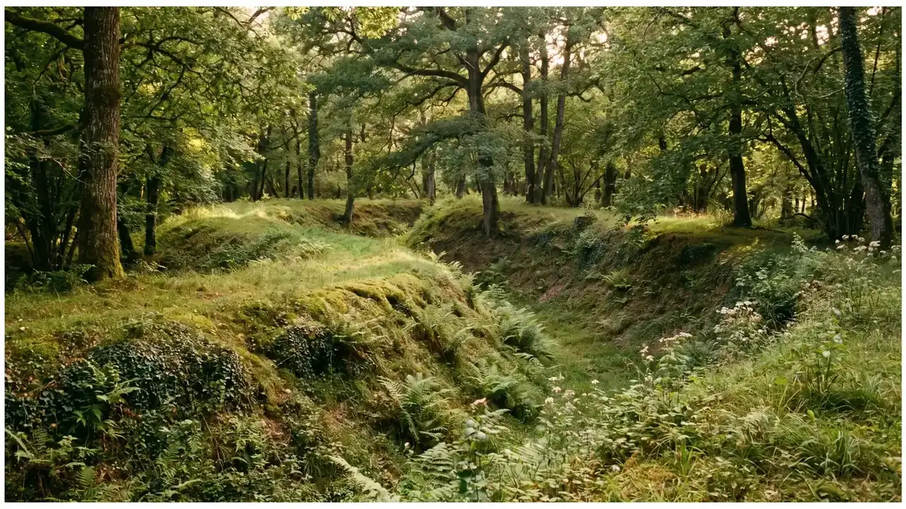
What remains in tangible form is the layout of the ditches , still visible in the landscape—a striking indicator of the enduring nature of the terrain. On the other hand, as is almost always the case, no traces of the wooden palisade that once crowned the summit have survived: the wood, being perishable, disappeared long ago. Underground passages are thought to exist at the base of the mound, though no systematic excavation has yet located them.
General Inventory or Historic Monument: Two Categories
One point that must be made clear, as it is the main pitfall of this case: the Grésignac mound is listed in the General Heritage Inventory (it has an entry there), but it is neither classified nor registered as a Historic Monument —two very distinct categories. Its preservation, on private property, therefore depends primarily on the vigilance of the owners and the local community. A few kilometers away, the Château de Clauzuroux is protected (the château was listed in 1947, and the rest of the estate in 2002; POP, entry PA00082463 )—proof that the area’s castle heritage is not overlooked, but that the motte itself is still awaiting formal protection.
For anyone who wants to check for themselves, the government's cultural heritage platform (POP) makes this distinction clear in the codes of the records themselves: references beginning with "AI" refer to a property simply listed in the General Inventory — a fact-finding exercise with no legal effect —, whereas the prefix "PA" indicates a protection as a Historic Monument . The Grésignac mound has its own entry IA24000866 , but no PA entry. The Clauzuroux file illustrates the other system: its entry PA00082463 covers an area that straddles three municipalities — Champagne-et-Fontaine (where the castle itself stands, listed since 1947 ), Cherval, and La Chapelle-Grésignac. A little-known fact: part of the protected area in 2002 (park, gardens, outbuildings) extend into the territory of Chapelle—so much so that the town does indeed contain a portion of a Historic Monument, even though it does not own the castle that earned it this protected status.
Two churches for a village of 100 residents
Saint-Jean de Grésignac, the Neglected Romanesque Church
Throughout its history, the town has had not just one but two churches — which is rare for a village of this size. The oldest one, the Romanesque Church of Saint-Jean in Grésignac , dates back to 12th century . It stood near the mound and remained the parish church until the 17th century. All that remains of it are remains , but remarkably legible: two semicircular arches resting on columns adorned with cubic capitals , typical of the Romanesque style. Belleyme’s map shows it already in a state of partial ruin around 1780.
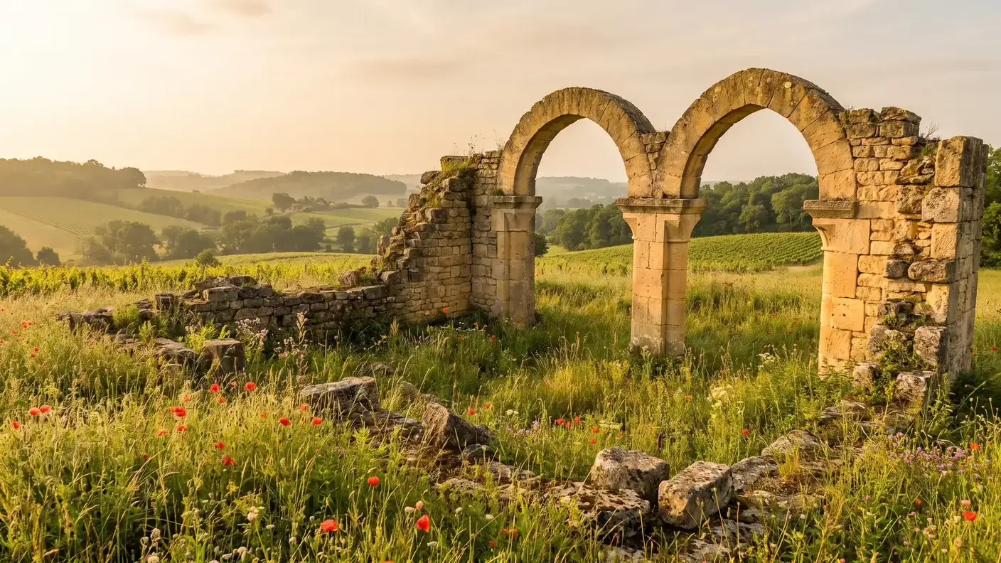
The Belleyme map—a comprehensive cartographic survey of Guyenne compiled around 1780 —provides a valuable reference point here: it depicts Saint-Jean as already being partially in ruins . The decline of the old Romanesque church can thus be dated—it was complete by the end of the 18th century, a full century after the parish had shifted to the town church. This shift in the center of gravity, from Grésignac (the castle hamlet, with its motte and Romanesque church) to La Chapelle (the present-day town), sums up the history of the village on its own: when the wooden castle ceased to matter, the hamlet that had lived in its shadow faded away in turn.
Saint-Étienne: The Annex That Became a Parish Church
The second, the Church of Saint-Étienne , was built in the 17th century to replace the old Church of Saint-Jean. A telling detail about power relations: originally dedicated to Saint Peter (the name Saint-Étienne was not the original one), it belonged to the seigneury of Aubeterre and was considered merely a “side chapel” ”—consistent with the parish’s religious affiliation with the Chapter of Aubeterre, within the Angoulême diocese. Architecturally, it features a single-nave layout, with a square bell tower on the west side topped by a hipped roof of hollow tiles, and a false barrel vault. Inside, altarpieces honor the two patron saints—Saint John, in memory of the former church, and Saint Stephen.
The La Chapelle-Grésignac Loop and the Surrounding Area
La Boucle in Practice
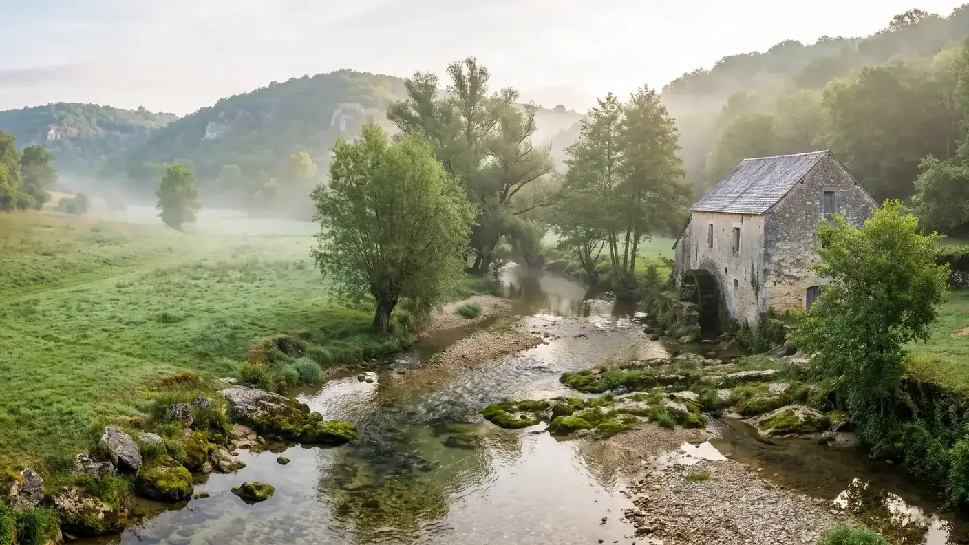
The best way to explore the town is on foot. The "La Chapelle-Grésignac Loop" , a hiking trail included in the Departmental Plan (PDIPR), connects ~7.5 km (about 2.5 hours, easy level, yellow trail markers, starting at the town hall square) the three heritage gems—the motte, Saint-Étienne Church, and the ruins of Saint-Jean—also passing by the Beaumont Castle and the Cacaud and Galy mills on the Pude River. The Cacaud Mill, a former watermill that was later converted into a flour mill, ceased operations in 1975.
Here are a few practical details for planning the hike: the route starts at the town hall square , following the D102 at first, and some guide sheets list the distance as 7.4 km instead of 7.5—a slight variation typical of a rural route. The two mills dotting the valley, Cacaud and Galy , date back to the 18th century : two reminders of the water-powered economy that sustained La Pude long after the lords of La Motte had passed, right up until the closure of the Cacaud flour mill in 1975 —nearly a thousand years of history condensed into a two-and-a-half-hour easy walk.
| Destination | Distance / time from La Chapelle-Grésignac | Interest |
|---|---|---|
| Cherval | ~5 km · ~7 min | Romanesque church with domes, Bourbet des Lageard Castle |
| Verteillac | ~6 km · ~9 min | Former county seat, in memory of the La Brousse family |
| The White Tower | ~10 km · ~13 min | Capital of the former castellany, a fortified town |
| Ribérac | ~18 km · ~22 min | Capital of the Ribérac region, with a large Friday market |
| Angoulême | ~35 km · ~40 min | Comic Book City, city walls, cathedral |
| Périgueux | ~48 km · ~55 min | Gallo-Roman Vesunna, Saint-Front Cathedral |
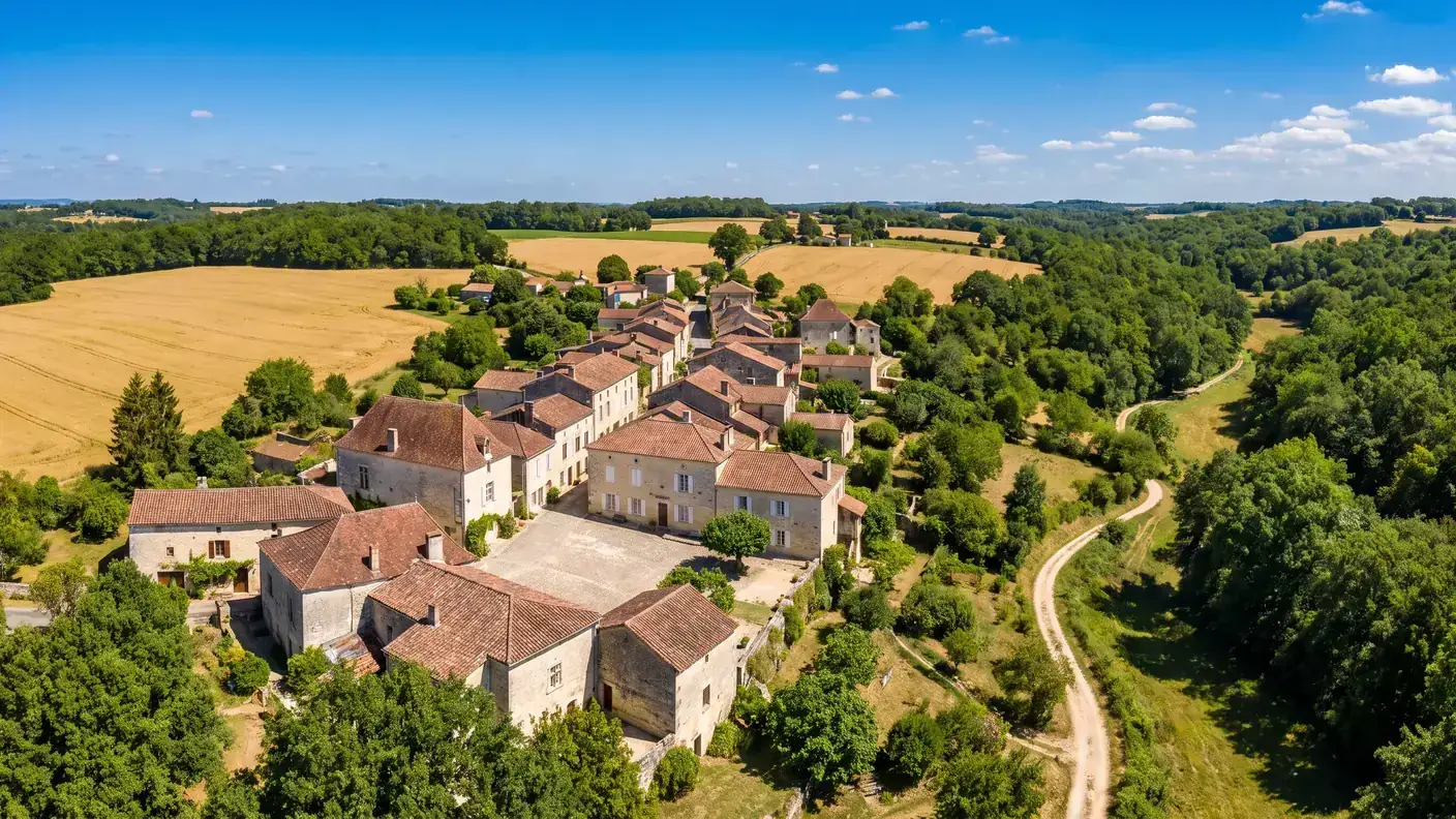
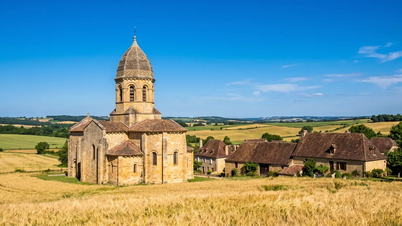
This entire region, between Dronne and Lizonne, is a land of forgotten hamlets and Romanesque churches with domes, situated at the crossroads of the Périgord and Angoumois regions. It is an authentic rural area, far from the main tourist routes.
Getting to La Chapelle-Grésignac from Bordeaux
La Chapelle-Grésignac is about 131 km from Bordeaux , or ~1 hr 56 min by car —a far cry from the “94 km” sometimes cited, which is only the distance as the crow flies. The village is off the beaten path: no national highways, no train station, just three small departmental roads (RD 100, 101, 102).
| Fashion | Duration | Estimated cost | Details |
|---|---|---|---|
| Chauffeured transfer | ~1 hr 56 min | Starting at €230 · one-way | Door-to-door service from Bordeaux, with stops at your choice (Verteillac, Ribérac) |
| Personal car | ~1 hr 56 min | ~24–30 € for gas and tolls | Via the major highways toward Ribérac, then the departmental roads |
| Train + Transfer | 3+ hours | variable | No nearby passenger train station; driving is required |
| Regional bus | — | — | There are no regular bus routes serving the village |
There is no train station or regular public transportation: a car or executive car service is essential. To travel from Bordeaux to explore La Motte and enjoy the Boucle at your own pace, a private chauffeur from Bordeaux offers the simplest door-to-door service at a fixed rate known in advance, starting at €230 one way.
Practical Information
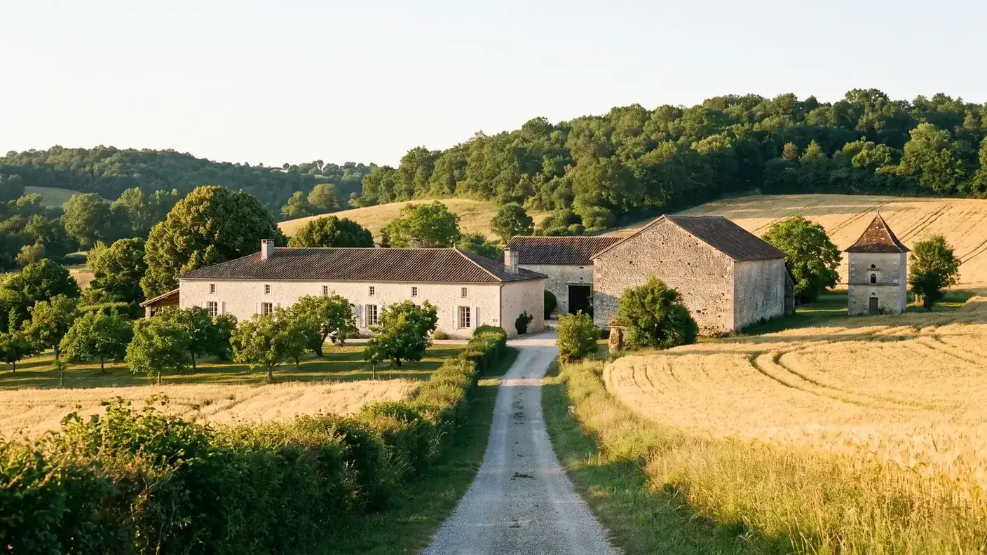
- Recommended duration: half a day — the hiking loop (~2.5 hours) is the best way to see everything: the motte, Romanesque ruins, Saint-Étienne Church, and mills.
- Must-see sights: the castle mound (private property—please be respectful), the Romanesque ruins of Saint-Jean, Saint-Étienne Church, and the Pude Valley.
- To combine: including Verteillac (~6 km), Cherval and its domes, La Tour-Blanche, and the big Friday market in Ribérac.
- Shops & services: virtually nonexistent in the town; the nearest ones are in Verteillac or Ribérac.
- Transportation: No train station or bus service. A car or chauffeured transfer is essential.
- Please note: The mound is on private property—view it from the trails in La Boucle without trespassing.
Frequently Asked Questions
What is a motte-and-bailey castle?
It is a medieval fortification consisting of an artificial earthen mound, often shaped like a truncated cone, topped by a wooden keep and accompanied by a bailey housing outbuildings and living quarters. Very common between the 10th and 12th centuries, this type of structure predates stone castles.
When was the settlement of Grésignac first documented?
The castrum of Grésignac first appears in historical records in 1243, under the Latin name “Greziniaco.” This date marks the earliest known written mention; the structure itself is likely older (11th–12th centuries), a classic period for motte-and-bailey castles.
Why was La Chapelle-Grésignac an Angoumois enclave?
Because the territory fell under the jurisdiction of the Diocese of Angoulême (and not that of Périgueux) and was incorporated in 1365 into the castellany of La Tour-Blanche, a possession of Angoulême. This dual affiliation, despite the area’s clear location within the Périgord, created a veritable Angoumois enclave within the Périgord.
Who were the lords of Lageard?
A noble family from Angoulême that held the seigneuries of Grésignac and Cherval and resided on the motte. The Lageards were hereditary Grand Seneschals of Angoumois; one of them, Hélie, served as mayor of Angoulême in 1504 and was a close associate of the future Francis I.
Is the Grésignac mound designated as a historic monument?
No. The mound is listed in the General Heritage Inventory, but it is neither classified nor designated as a Historic Monument—these are two distinct categories. It is located on private property. Only the nearby Clauzuroux Castle is protected as a Historic Monument.
How many residents are there in La Chapelle-Grésignac?
The municipality had a population of 103 in 2023, down 4.63% from 2017, with a population density of approximately 15 people per square kilometer across a very small area of 6.95 square kilometers. It is one of the smallest municipalities in the Ribérac region.
What is known about the excavations conducted on the motte?
Most of this information is based on local lore and should be taken with a grain of salt. Christian Carcauzon identified a blocked well and notches for descending, while Serge Avrilleau found a cavity at the rear of the dome; cellars, silos, and pottery from the 11th and 12th centuries are mentioned only as possibilities. The layout of the ditches remains clearly visible.
How is La Chapelle-Grésignac connected to Verteillac?
Both towns are part of the same Ribérac region, just 6 km apart, and share a history of medieval earthen fortifications at the junction of the Périgord and Angoumois regions. In fact, the motte at Grésignac is one of the most remarkable in this region of feudal borderlands.
How do I visit the site?
On foot, via the “Boucle de La Chapelle-Grésignac,” a hiking trail approximately 7.5 km long (2 hours 30 minutes, easy) that connects the motte, the two churches, Beaumont Castle, and the Pude mills. Since the motte is on private property, you can view it from the trails without trespassing.
What does the name La Chapelle-Grésignac mean?
“Grésignac” is a name ending in -ac, derived from the Gallo-Roman suffix -acum (“estate of”): according to a cautious toponymic hypothesis, it may date back to the estate of a certain Grisinius (or Gracillius)—an ancient name for which there is no other evidence. “La Chapelle” refers to the local religious building. Historical forms range from “Greziniaco” (1243) to “La Chapelle Gresinhac” (16th century), including “Capella de Grazinhaco” in the 13th century.
Is Clauzuroux Castle located within the town?
The castle itself is located in Champagne-et-Fontaine, the neighboring town. However, its listing (PA00082463) covers an estate that spans three municipalities—Champagne-et-Fontaine, Cherval, and La Chapelle-Grésignac: part of the estate listed in 2002 (park, gardens, outbuildings) extends into Champagne-et-Fontaine’s territory. The castle itself has been listed since 1947. The town therefore hosts a portion of a Historic Monument, without actually owning the castle.
How far is La Chapelle-Grésignac from Bordeaux?
Approximately 131 km, or about 1 hour and 56 minutes by car. With a professional chauffeur, door-to-door service is available starting at €230 one way. The village has neither a train station nor public transportation; it is accessible only by road.
Further Reading
- The neighboring village, 6 km away, is also part of the Marches region : see the Guide to Verteillac (shared lordship, the La Brousse family)
- Another village in the Ribérac region described in detail : see the Bertric-Burée Guide (millennial yew tree, Gary Gygax Alley)
- The capital of the Ribérac region : see the Ribérac Guide (Arnaut Daniel, Friday market)
- The 2,000-Year-Old Prefecture : See the Guide to Périgueux (Vesunna, Saint-Front)
- Plan your trip : Book a private driver from Bordeaux to La Chapelle-Grésignac or explore all our destinations
Sources and References
- Wikipedia — La Chapelle-Grésignac — geography, motte, Angoumois enclave, churches
- INSEE — Complete La Chapelle-Grésignac Report (24109) — Population, Density
- POP / Mérimée Database — Grésignac castle mound — General Inventory (not designated as a historic monument), dated to the 11th–12th centuries
- POP / Mérimée Database — Remains of the Church of Saint-Jean — semicircular arches, cubic capitals, Aubeterre chapter
- POP/Mérimée Database — Saint-Étienne Church — 17th century, formerly dedicated to Saint Peter, Aubeterre seigneury
- POP/Mérimée Database — Clauzuroux Castle — listed as a historic monument (castle in 1947, estate in 2002) spanning three municipalities
- Dordogne-Périgord Tourism — La Chapelle-Grésignac Loop — PDIPR route ~7.5 km, mills, Beaumont Castle
Article updated in July 2026.
On the Way to the Outskirts of the Ribérac Region
Direct trip from Bordeaux (~1 hr 56 min) to the Périgord Vert, with stops along the way as desired—Ribérac, Verteillac, the Dronne Valley. Written fixed-price quote within 30 minutes; sedan or 7-passenger van; English-speaking driver.