
Champniers-et-Reilhac: Two Villages and a Templar Landmark
A slice of Limousin in the Périgord: granite plateaus, forests, and ponds, in the far north of the Dordogne. At Reilhac, a Romanesque church once served as a true home of the Knights Templar—a local priest appeared before Clement V in 1310. A castle on a Roman oppidum, a royal dynasty. About 2 hours and 31 minutes from Bordeaux.
Champniers-et-Reilhac at a Glance
- Champniers-et-Reilhac (the residents of Champnier) is a rural commune in the far north of the Dordogne, in the Nontronnais region, in the heart of the Périgord Vert—on the border with Haute-Vienne (24360).
- Formed in 1805 by the merger of two villages, Reilhac and Champniers; the name was reversed in February 1847 when the county seat was moved from Reilhac to Champniers.
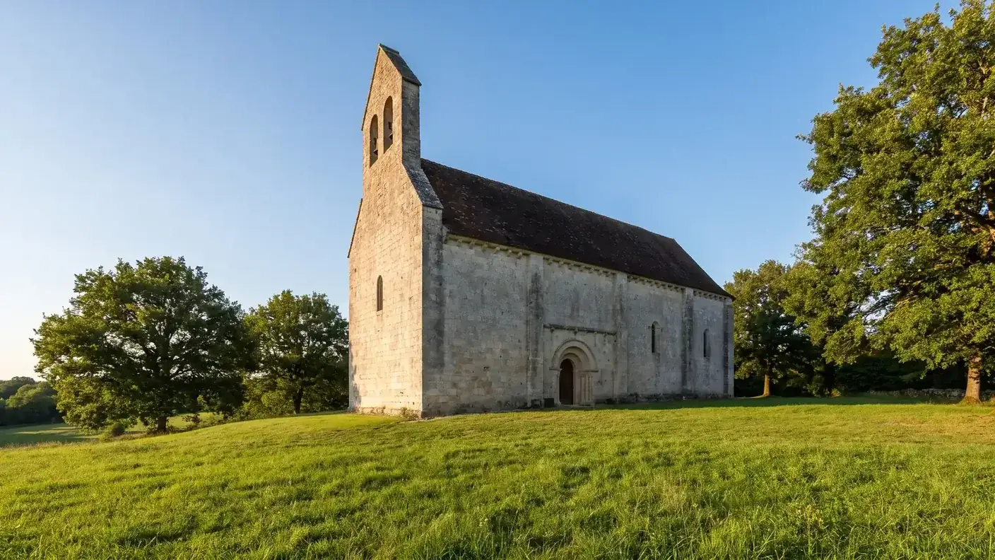
- Reilhac is home to the Romanesque Church of Saint-Paul (12th century), a former possession of the Knights Templar and the town’s only historic monument (listed in 1965)—its vault, which had collapsed, was reopened in July 2025.
- A very real and dated Templar milestone: the priest Élie de Chalistrat, from Reilhac, appeared before Pope Clement V in 1310 during the Templar trial.
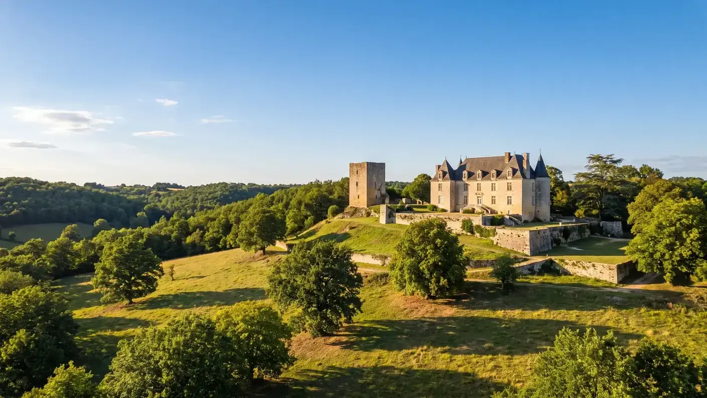
- Champniers is home to a castle built on the site of a Roman oppidum, which has been restored over the centuries and hosted Fénelon in 1687.
- The Reilhac family, local lords, gave France Jean de Reilhac (1430–1505), Secretary General of Finance and ambassador to three kings.
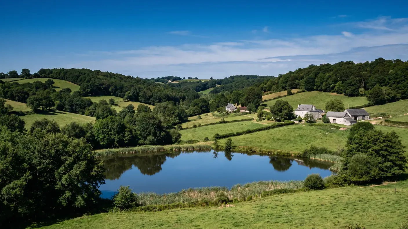
- A town in the Périgord-Limousin Regional Nature Park, situated on a granite plateau and dotted with ponds—including the Grolhier, a bird sanctuary.
- From Bordeaux: ~178 km, about 2 hours and 31 minutes by car — starting at €312 with a private driver. No train station (Nontron is ~20 km away).
Before You Go: What Champniers-et-Reilhac Really Is
Late afternoon on a plateau in the Périgord Vert. Here, in the far north of the Dordogne, the landscape changes: the pale yellow limestone of the Périgord gives way to gray granite, vineyards to forests of oak and chestnut trees, and rolling hills to wooded heights rising to 360 meters—nearly the highest point in the department. Two villages make up the municipality: Champniers, centered around its church-refuge and castle on an ancient Roman site; and Reilhac, a little further away, with its small Romanesque church that was, in fact, once a Templar house. Welcome to Champniers-et-Reilhac, a slice of Limousin in the Périgord, where medieval history is not the stuff of legend, but of the archives.
Champniers-et-Reilhac is owned by Nontronnais, the northern tip of the Périgord Vert, bordering the Haute-Vienne. It is a region of forests, ponds, and granite, off the beaten path of major tourist routes—people come here for the nature of the Périgord-Limousin Regional Nature Park and for its unassuming yet authentic medieval heritage.
This guide carefully distinguishes verified facts from information that is simply copied from one entry to another. Here, unlike in other “Templar” villages in the Southwest, the connection to the Order of the Temple is attested by a document—but the term “commandery” is a misnomer: in the time of the Templars, Reilhac was a House of the Temple (the term “commandery” did not appear until later, under the Knights Hospitaller). Similarly, it is sometimes stated that the castle of Champniers was “rebuilt in the 17th century”: in reality, it was the castle of Reilhac—a different building—that was rebuilt during that period. We will sort all this out below, with supporting sources.
In terms of access, the town is landlocked and has no train station—expect a trip of about 2 hours and 31 minutes from Bordeaux. To explore Reilhac, Champniers, and the forests of Périgord-Limousin without worrying about the route, a private driver from Bordeaux remains the simplest door-to-door solution.
A granite plateau on the edge of the Limousin region
Champniers-et-Reilhac is located in the far north of the Dordogne, in the Nontron district, right on the border with Haute-Vienne—the town of Marval lies less than 200 meters from its territory. This area is part of the Périgord-Limousin region, a crystalline plateau with rolling hills and forested valleys; its highest point, at 360 meters, is close to the highest point in the entire department (the lowest point is 185 meters). The village of Champniers is situated at a crossroads; Reilhac is located about 3 km to the northwest.
The Granite Dome of Saint-Mathieu
What truly sets this region apart is its granite bedrock. Champniers-et-Reilhac lies atop the Carboniferous-era leucogranitic dome of Saint-Mathieu—a spur of the Massif Central that outcrops here, at the northeasternmost edge of the Aquitaine Basin. Granite, along with mica schist, replaces the limestone of central Périgord: it is this rock that gives the local architecture—castles and farms—its characteristic gray stone, and the landscape its forests, moors, and ponds.
Geologists are even more specific: it is a leucogranite—a light-colored granite containing muscovite and biotite—formed during the Carboniferous Period, with isolated pegmatites in the southeastern part of the municipality, while the mica schists of the Dronne Group complete the bedrock. An amusing administrative detail, by the way: the town even has two official areas, depending on whether it is measured using the INSEE cadastral survey (20.40 km², the value used here) or the IGN map (21.13 km²) — a difference of nearly three-quarters of a square kilometer, even though none of the fields have moved.
| Data | Value |
|---|---|
| ZIP Code | 24360 |
| Natural Region | Green Périgord / Périgord-Limousin (Nontronnais) |
| Borough | Nontron |
| Area | 20.40 km² (INSEE cadastral area) |
| Elevation | 185 m to 360 m |
| Population | 541 residents (2023) [1] |
| Density | ~27 people/km² |
| Park | PNR Périgord-Limousin |
| Must-See | Templar Church of Reilhac (Historic Monument), Champniers Castle, Grolhier Pond |
A climate that is already typical of the Limousin region—and one that is getting warmer
The municipality is part of the Périgord-Limousin Regional Nature Park, created to highlight this transitional area between two regions. The climate, a modified oceanic climate, is already more continental and wetter here than in central Périgord: the recent average (1991–2020) is 12.7 °C and nearly 970 mm of rainfall per year. It is a green, humid, and forested region—the “green” in “Périgord Vert” is more than just a figure of speech.
Local climate norms, in fact, indirectly reflect the ongoing warming: over the period 1971-2000, the annual average stood at 11.4 °C for 1,086 mm precipitation; on 1991-2020, it went up to 12.7 °C for 972.4 mm — or +1.3 °C and about 114 mm less rain per year between the two normal values. Local records indicate the range for that location: 40.1 °C on August 11, 2025 on the hot side, −12.9 °C on February 9, 2012 cold side.
| Climate (averages) | 1971-2000 | 1991-2020 |
|---|---|---|
| Average Annual Temperature | 11.4 °C | 12.7 °C (+1.3 °C) |
| Annual precipitation | 1,086 mm | 972.4 mm (−114 mm) |
| Heat Record | — | 40.1 °C (August 11, 2025) |
| Record low temperature | — | −12.9 °C (February 9, 2012) |
Half a century of decline, followed by a sharp rebound
From the peak in 1891 to the trough in 2017
To gauge the scale of the phenomenon, we must look far back in time: the town already had 810 residents in 1793, during the first Revolutionary census, and reached its historical peak in 1891 with 1,182 residents—more than double today’s population. From its peak in 1891 to its low point in 2017, the population has shrunk by a factor of 2.6: a century and a quarter of continuous decline, fueled by the rural exodus that emptied the entire Upper Périgord region. This figure also gives a sense of the current landscape: the hamlets, farms, and two villages were built to accommodate a population two and a half times larger.
Like most towns in the Nontron region, Champniers-et-Reilhac experienced a long period of population decline after the war. From 661 residents in 1968, the population has been steadily declining—554 in 1975, 533 in 1999—to a actual low of 455 residents in 2017. Half a century of rural exodus, typical of the entire Northern Périgord region.
| Year | Population |
|---|---|
| 1968 | 661 residents |
| 1982 | 548 |
| 1999 | 533 |
| 2017 | 455 (all-time low) |
| 2022 | 511 |
| 2023 | 541 residents |
A rebound driven by newcomers
Then, in a dramatic turn of events: since the mid-2010s, the trend has clearly reversed. The town has gained nearly 90 residents, representing an increase of +18.9% between 2017 and 2023 — a spectacular increase, well above the Dordogne average (+0.97%) and even the national average (+2.36%) over the same period. This resurgence is entirely due to positive net migration: it is newcomers who are repopulating the village, as the natural increase remains negative (deaths outnumber births almost every year).
The latest figures from INSEE confirm this: between 2017 and 2023, the population grew by an average of +2.9% per year, the result of a net migration rate of +3.7% per year, which offset a natural increase of −0.8% per year. The vital statistics speak for themselves: 2 births for every 13 deaths in 2022, and 1 for every 9 in 2024. Without the steady influx of new residents, the village would therefore continue to lose population—it is indeed the village’s appeal as a place to live, and that alone, that has reversed the trend.
This contrast—an aging community that is losing residents due to an aging population but gaining more through the arrival of newcomers—is characteristic of the attractive rural areas of the Périgord Vert: a preserved natural environment, affordable housing, and a high quality of life. With a population density of about 27 people per square kilometer, Champniers-et-Reilhac remains a very rural town, but one that has, for the time being, halted its decline.
Two villages, two names—and a change in 1847
The Black Fields and the Regulius Estate
The town's compound name tells the story of two villages that were long separate. "Champniers" is said to come from Vulgar Latin Niger Campus, “the black field”—an origin that is also found for other Champniers sites, particularly in Charente. "Reilhac", on the other hand, has its roots in antiquity: it is derived from a Gallo-Roman male name combined with the possessive suffix -acum, meaning “Regulius’s estate”—a Latin landowner whose name has become enshrined in the place name.
A mind-boggling detail: the two villages do not appear in historical records until much later—the earliest known written references, "Champnier" and "Relhacum", date back only to 14th century. Yet both churches are Romanesque, dating from the 12th century : They predate the oldest surviving records by two hundred years. This proves that human settlement in the area predates the documents that have come down to us—and has likely been continuous since antiquity, if we are to believe the etymology of Reilhac and the Roman oppidum at Champniers.
1805–1847: The Shift in the Two Towns
As for its administrative history, it can be summarized in two dates. In 1805, during the First Empire, the municipalities of Reilhac and Champniers were merged into a single entity—and, tellingly, the new entity took the name of "Reilhac and Champniers", with Reilhac at the top. This choice reflects the prestige Reilhac enjoyed at the time, drawing on its rich Templar heritage. Then, in February 1847, the municipal seat is moved from Reilhac to Champniers, which is better located at the crossroads: the name is immediately reversed to become "Champniers-et-Reilhac", just as it is.
This name change is even dated to the day In the official reference systems: the municipality is named “Reilhac-and-Champniers” until February 5, 1847, and "Champniers-et-Reilhac" beginning February 6, 1847. The alphabetical order has left another, more subtle trace: the The INSEE code for the municipality is 24100 — not to be confused with the ZIP code 24360 —, a number derived from the alphabetical classification, with “Champniers” appearing at the beginning of the name. This code, 24100, is the one you need to use to find the municipality in official records. Two villages, two names, two codes: the municipality certainly embraces duplication.
This shift in prominence over the course of some forty years speaks volumes: the relative importance of the two villages was not set in stone. Champniers ultimately prevailed administratively—but it is Reilhac that still retains, to this day, the oldest and most unique monument in the municipality. In short, the two villages have divided the roles between them: one took the lead in the name and the town hall, while the other preserved the Templar legacy.
Saint-Paul de Reilhac: A True Templar Landmark
It is the most remarkable monument in the town, and it deserves to be described with precision, without succumbing to myth. TheSt. Paul's Church at Reilhac, a novel, from the 12th century, is thethe only Historic Monument from Champniers-et-Reilhac: It has been listed since September 8, 1965. [2] And his connection to the Knights Templar is no legend: it is documented.
"Maison du Temple," not a commandery
Let’s be precise with our words, because that’s where mistakes creep in. We often read that Reilhac was the seat of a “Templar commandery.” In reality, during the time of the Knights Templar, the establishment was a House of the Temple—the term “commandery” did not appear in connection with Reilhac until after the Order’s dissolution, under the Knights Hospitaller. But the Templars’ presence is firmly established by a document: in 1310, a priest from Reilhac, Élie de Chalistrat, appeared before Pope Clement V, first in Poitiers and then in Paris, as part of the great trial of the Templars. It would be difficult to find more tangible evidence of Reilhac’s connection to the Order of the Temple.
Hospitaliers to the Rescue in 2025
The story is well known: the Order of the Temple was dissolved by Clement V in 1312, and its assets were transferred to the Knights Hospitaller of St. John. Reilhac followed this common fate: the house passed to the Knights Hospitaller, becoming part of the commandery of Milhaguet and then the priory of Bourganeuf, in Limousin—for Reilhac, notably, fell under the Diocese of Limoges, not Périgueux, which serves as a reminder of just how close we are here to the edge of Limousin.
The church nearly disappeared: its the barrel vault had collapsed. After five years of construction, it was reopened at the end of July 2025, in the presence of the Bishop of Périgueux and Sarlat—a wonderful rescue for this rare artifact. Today, the Haut-Périgord Tourist Office keeps the memory of this past alive with the "The Templars' Loop", a hiking trail about 9 km long that passes through Reilhac. What makes this place special is not a myth inflated by legends, but quite the opposite: a small, modest rural Temple village, whose Romanesque church has survived to this day—and whose priest has a name, a date, and a trial on record.
Saint-Paixent de Champniers, a fortified church-refuge
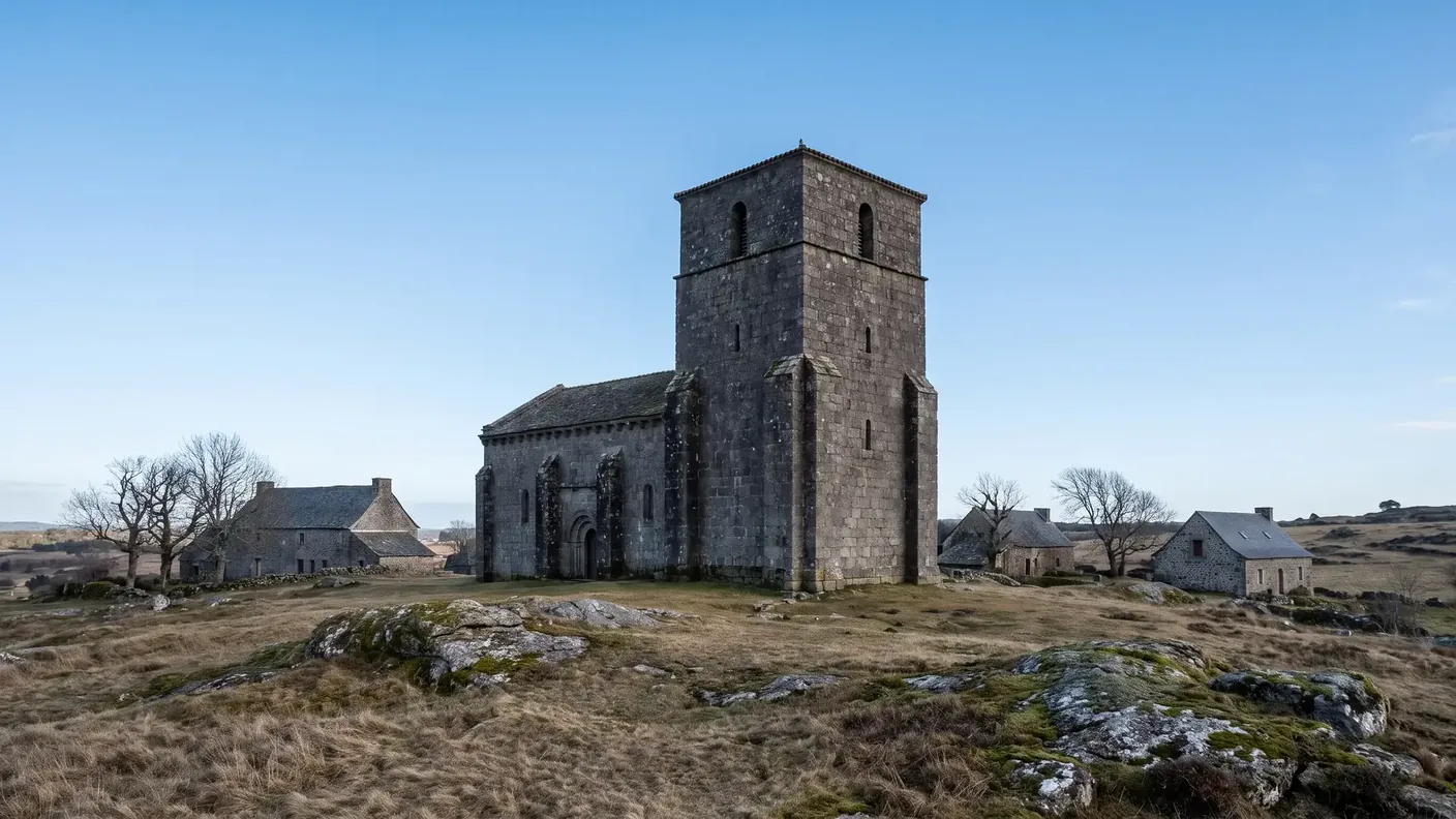
The village of Champniers also has its own church: Saint-Paixent, named after the village's patron saint. Built in granite Built in the 12th century and remodeled in the 15th and 16th centuries, it features a Romanesque floor plan barlong (elongated) with Gothic additions in the shape of a Latin cross. But its most striking feature lies elsewhere: it is a fortified church-refuge.
A Haven in Troubled Times
In the 15th and 16th centuries, in the Périgord region—which had been ravaged by the Hundred Years' War and then the Wars of Religion—many rural churches were fortified to serve as shelter to warn the population in case of danger. Saint-Paixent is one such example: its sturdy square bell tower has openings inarchers (shooting loopholes), and the building still bears traces of this defensive role. It is a typical example of the heritage of this remote part of the Périgord, where the church also served as the village’s last refuge.
The Truth and the Lie of the Bell Tower
A quick note to clear up a common misunderstanding. One sometimes reads that Saint-Paixent is said to have an “octagonal bell tower in the Limousin style.” In reality, its bell tower is square and fortified ; the octagonal element is a inner dome on the trumpets, at the crossing of the transept—a hallmark of Limousin art, but inside the building, not at the top. And please note: the Historic Monument listing that is sometimes associated with a “Saint-Paixent” (reference PA00105468, octagonal dome) actually refers to a namesake of the Vienne River, in L'Isle-Jourdain — not Champniers. The only historic monument in the town is the church at Reilhac.
The Castle of Champniers: From a Roman Oppidum to Fénelon
The castle at Champniers owes its significance to one thing: the defensive continuity of its site. The medieval castle (dating from the 12th or 14th century, depending on the source) was built on a Roman oppidum—a site that was already fortified during the Gallo-Roman period. The medieval builders did not choose this spot at random: they reoccupied a commanding position identified centuries earlier by the Romans. This same rocky outcrop was considered strategic from antiquity through the Ancien Régime.
Two castles, a castellany, a distinguished guest
Originally, the castle had two square dungeons. Time has taken its toll on them: the south tower was demolished in 1914 and replaced by a pavilion, while the north keep—capped with concrete merlons after World War II—retains only about one-third of its original height. Also still standing are the main building, vaulted cellars, and two underground passages. The castle was the seat of one of the largest castles of the Barony of Nontron — and he received, in 1687, a distinguished guest: Fénelon, the future author of the The Adventures of Telemachus. The castle is not currently designated as a historic monument.
Champniers Castle, Reilhac Castle: two buildings
Here again, a point of confusion needs to be cleared up. It is often stated that the Château de Champniers was “rebuilt in the 17th century.” In reality, it was the castle at Reilhac—a separate building, not to be confused with the other—that was rebuilt between 1667 and 1673, on the very site of the former House of the Temple. The Templar legacy, it seems, runs from one end of the town to the other.
The Reilhac Family: From the Village to the Royal Court
The history of the town is not limited to its buildings; it also stems from a lineage whose influence extended far beyond this corner of the Nontron region. The de Reilhac family, which takes its name from the village, has, over the course of more than a century, produced men who held positions of great proximity to the French royal court.
Pierre from Reilhac: One Man, Two Careers
The first clearly identified figure is Pierre de Reilhac, who served both as an advisor to King John the Good (who reigned from 1350 to 1364) and as a secular canon of Chartres—a single man holding both a position in the king’s service and a church office, as was often the case among the middle nobility of the late Middle Ages. The fact that a member of a rural family from the heart of the Périgord Vert could advise the King of France speaks volumes about the ability of these provincial lineages to integrate into the circles of power through the law and the administration.
Jean from Reilhac, Ambassador of the Three Kings
The most illustrious of them all was Jean de Reilhac (c. 1430–1505). Far from being merely a local notable, he became Secretary-General of Finance and Master of Accounts, and served as ambassador to three successive kings: Charles VII, Louis XI, and Charles VIII. [3]In 1466, he married Marguerite de Chanteprime, Lady of La Queue-en-Brie, and upon doing so became baron of estates in Île-de-France (La Queue, Pontault, Les Bordes, Bonneuil)—a remarkable social rise within a single generation, achieved solely through service to the state.
The family tradition continued: his son Jean II de Reilhac (died 1527), Baron of La Queue-en-Brie, was also an advisor to the king; then his brother Guillaume inherited the barony in 1538. At least three generations served the crown, in roles ranging from royal finance and diplomacy to court offices. This is a useful reminder: the history of these small towns does not end at their borders—sometimes, through a single family, it connects to the broader history of France.
The reason this lineage is so well known is that it was fortunate enough to have its own historian: in the 19th century, a descendant, A. de Reilhac, published in Paris between 1886 and 1889 a three-volume reference work devoted to Jean de Reilhac — whose full title serves as a reminder that he was also a master of accounts, in addition to his roles as Secretary of Finance and ambassador. Few villages with a population of 500 can draw upon such a comprehensive scholarly work for their feudal history.
Water, Granite, and Grolhier Pond
Beyond its built heritage, Champniers-et-Reilhac is first and foremost a land of nature. The impermeable granite bedrock retains water, giving rise to the ponds, streams, and wetlands that dot the landscape. The town is crossed by two small rivers—the Trieux and, on its northern edge, the Nauzon—and by a network of streams that feed the meadows and forests.
The figures illustrate the extent of this network: the municipality’s hydrographic network totals 69 km of waterways. The Trieux River, with a total length of 29.55 km, flows for approximately 7.5 km within the municipality; the Nauzon (11.62 km) forms its northern boundary; added to these are smaller tributaries such as the Francherie and Étang Neuf streams. For a municipality covering 20.40 km², this represents a remarkable density of rivers—the impermeable granite literally transforms the plateau into a small water tower.
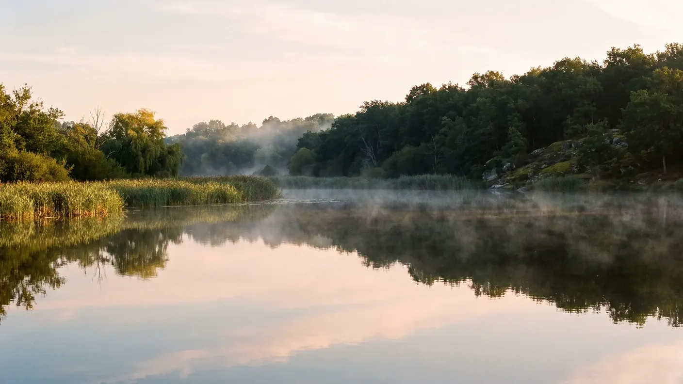
Grolhier Pond, a bird sanctuary
The town’s natural gem is Grolhier Pond, a vast body of water covering about 20 hectares (part of which lies within the town’s boundaries), which serves as a bird sanctuary. Its reed beds and wooded shores are home to a rich variety of birdlife, and the entire area—covering some 233 hectares—has been protected as a designated site since 1979. It is a peaceful place, ideal for birdwatching and walking, and emblematic of the nature-focused mission of the Périgord-Limousin Regional Nature Park.
This area is by no means a historical wasteland: a Gallo-Roman villa was discovered in 1922 near the Petits Moulins pond, fed by the Trieux River—confirming, once again, that human settlement here dates back to antiquity. Set amid granite, forests, and bodies of water, Champniers-et-Reilhac is as much a heritage destination as it is an outdoor destination.
Coming from Bordeaux and exploring the surrounding area
Champniers-et-Reilhac is a landlocked town with no train station or major public transportation service. From Bordeaux, it’s about 178 km and a 2-hour, 31-minute drive (slightly longer depending on the route). The subprefecture of Nontron, the nearest major town, is about 20 km away. Limoges and Angoulême are each about 50 km away as the crow flies, on either side.
| From / To | Distance | Weather |
|---|---|---|
| Bordeaux → Champniers-et-Reilhac | ~178 km | ~2:31 |
| Nontron (subprefecture) | ~20 km | ~22 min |
| Piégut-Pluviers | ~7 km | ~10 min |
| Limoges (Haute-Vienne) | ~50 km | ~50 min |
| Périgueux (prefecture) | ~66 km | ~1:05 |
With no rail service and a very scattered population, a car is essential. For a day in the Nontron region of the Périgord Vert—the Templar church at Reilhac, the castle at Champniers, the Grolhier pond, the forests of the Boucle des Templiers—without worrying about the route or parking, a private driver departing from Bordeaux lets you visit each stop door-to-door, at your own pace.
In the surrounding area, there’s plenty more to explore: the bastide town and the “Couteau de Nontron” (~20 km), the towers of Piégut-Pluviers nearby, the medieval village of Montbron in Charente (~10 km to the west), and further south, the must-see destinations of the Périgord Vert—Brantôme, the “Venice of the Périgord,” or Bourdeilles. Champniers-et-Reilhac serves as a peaceful, wooded base from which to explore this still-unspoiled part of the Périgord-Limousin region.
Frequently Asked Questions
Where is Champniers-et-Reilhac located?
In the far north of the Dordogne, in the Nontronnais region of the Périgord Vert, right on the border with the Haute-Vienne. The town is part of the Périgord-Limousin Regional Nature Park. ZIP code 24360. It is a granite plateau with a population of about 541, located some 178 km (2 hours and 31 minutes) from Bordeaux and 20 km from Nontron.
Does Champniers-et-Reilhac have a real connection to the Knights Templar?
Yes, a documented connection—unlike many of the so-called “Templar sites” that are based on legend. The Church of Saint Paul in Reilhac was a possession of the Order of the Temple (a “House of the Temple”), and a priest from Reilhac, Élie de Chalistrat, appeared before Pope Clement V in 1310 during the Templar trial. After 1312, the properties passed to the Hospitallers. The term “commandery,” however, did not appear until the Hospitaller period.
Is the church at Reilhac a historic landmark?
Yes: The 12th-century Romanesque Church of Saint-Paul in Reilhac has been designated a Historic Monument since September 8, 1965. It is the only designated historic monument in the town. Its barrel vault, which had collapsed, was restored, and the church was rededicated in late July 2025 after five years of construction work.
Why is the town called “Champniers-et-Reilhac”?
Because it brings together two former villages. Merged in 1805, they initially formed the municipality of “Reilhac-and-Champniers.” In February 1847, the municipal seat was moved from Reilhac to Champniers, which was better situated at the crossroads, and the name was reversed to become “Champniers-et-Reilhac.” “Champniers” comes from “champ noir” (campus niger), and “Reilhac” from the Gallo-Roman estate of Regulius.
What is there to see at Champniers Castle?
The castle, built on the site of an ancient Roman oppidum, still features a main residence and the base of a medieval square keep—now reduced to one-third of its original height—as well as vaulted cellars and two underground passages. It served as the seat of a large castellany within the barony of Nontron and hosted Fénelon in 1687. It is not designated as a Historic Monument. Not to be confused with the Château de Reilhac, which was rebuilt in the 17th century on the site of the former Maison du Temple.
Who was Jean from Reilhac?
Jean de Reilhac (c. 1430–1505), a member of the village’s noble family, served as Secretary General of Finance and ambassador to three kings of France: Charles VII, Louis XI, and Charles VIII. In 1466, he married Marguerite de Chanteprime and became Baron of La Queue-en-Brie, in Île-de-France. His family served the crown for at least three generations.
How much does a trip from Bordeaux to Champniers-et-Reilhac cost with a private driver?
Starting at €312 for a one-way, door-to-door trip for 1 to 3 passengers (sedan) — approximate price for ~178 km and about 2 hours and 31 minutes of driving time. The exact price depends on the schedule, the vehicle (sedan or van seating up to 8 passengers), and any requested stops. A fixed, written quote is provided before departure.
What is the “Boucle des Templiers”?
This is a hiking trail of about 9 km recommended by the Haut-Périgord Tourist Office, which passes through Reilhac. Its name pays homage to the local Templar heritage—the House of the Temple and its Romanesque church. It’s the most enjoyable way to explore this corner of the Périgord-Limousin region, with its forests and granite landscapes, on foot.
Is there a train station at Champniers-et-Reilhac?
No. The town does not have a train station and is not served by public transportation. The subprefecture of Nontron, about 20 km away, is the nearest point of reference. You can therefore get there by car or with a private driver from Bordeaux (~2 hours 31 minutes), Périgueux (~1 hour 5 minutes), or Limoges (~50 minutes).
Has Champniers-et-Reilhac always been so sparsely populated?
No, far from it. The town had 810 residents as early as 1793 and reached its historical peak in 1891 with 1,182 residents—more than double today’s population. Rural depopulation then reduced the population by a factor of 2.6, reaching a low of 455 residents in 2017. Since then, the trend has reversed thanks to newcomers: 541 residents in 2023, representing an 18.9% increase over six years—one of the strongest growth rates in the region—driven entirely by net migration, as deaths still outnumber births there.
What is the climate like at Champniers-et-Reilhac?
An altered oceanic climate, already typical of the Limousin region: cooler and significantly wetter than central Périgord. The 1991–2020 average stands at 12.7 °C for annual temperature and 972.4 mm of precipitation—compared to 11.4 °C and 1,086 mm for 1971–2000, indicating a local warming of +1.3 °C between the two average periods. Record temperatures range from 40.1 °C (August 11, 2025) to −12.9 °C (February 9, 2012). Be sure to pack an extra layer compared to what you’d wear in Bordeaux, especially in the evenings on the plateau.
What's there to see around Champniers-et-Reilhac?
Nontron and its cutlery industry (~20 km), the towers of Piégut-Pluviers nearby, Montbron in Charente (~10 km), and further south, the jewels of the Périgord Vert: Brantôme, the “Venice of the Périgord,” and Bourdeilles. Locally, the Grolhier Pond and the trails of the Périgord-Limousin Regional Nature Park invite you to go for a walk and observe nature.
Further Reading
- The “Venice of the Périgord,” to the south: see the Brantôme Guide (abbey, caves, Dronne River loop)
- The birthplace of a barony in the Périgord Vert: see the Vieux-Mareuil Guide
- The Périgord Vert near Limousin: see the Lanouaille Guide (Bugeaud, Pomme d'Or)
- The capital of the Périgord Vert: see the Ribérac Guide (Arnaut Daniel, main market)
- Plan your trip: Book a private driver from Bordeaux → Champniers-et-Reilhac or explore all our destinations
Sources and References
- INSEE — Municipality of Champniers-et-Reilhac (24100) — 2023 population and municipal data, accessed July 24, 2026
- POP — Saint-Paul Church in Reilhac (PA00082469) — Listed on September 8, 1965; accessed July 24, 2026
- Hachette BnF — Jean de Reilhac, Secretary, Master of Accounts, General of Finance, and Ambassador to the Kings — Heritage Edition of the Original Work from 1886–1887
- Périgord-Limousin Regional Nature Park — Territory and Natural Environments
- Champniers-et-Reilhac Municipality — Local History and Heritage News
Article updated in July 2026.
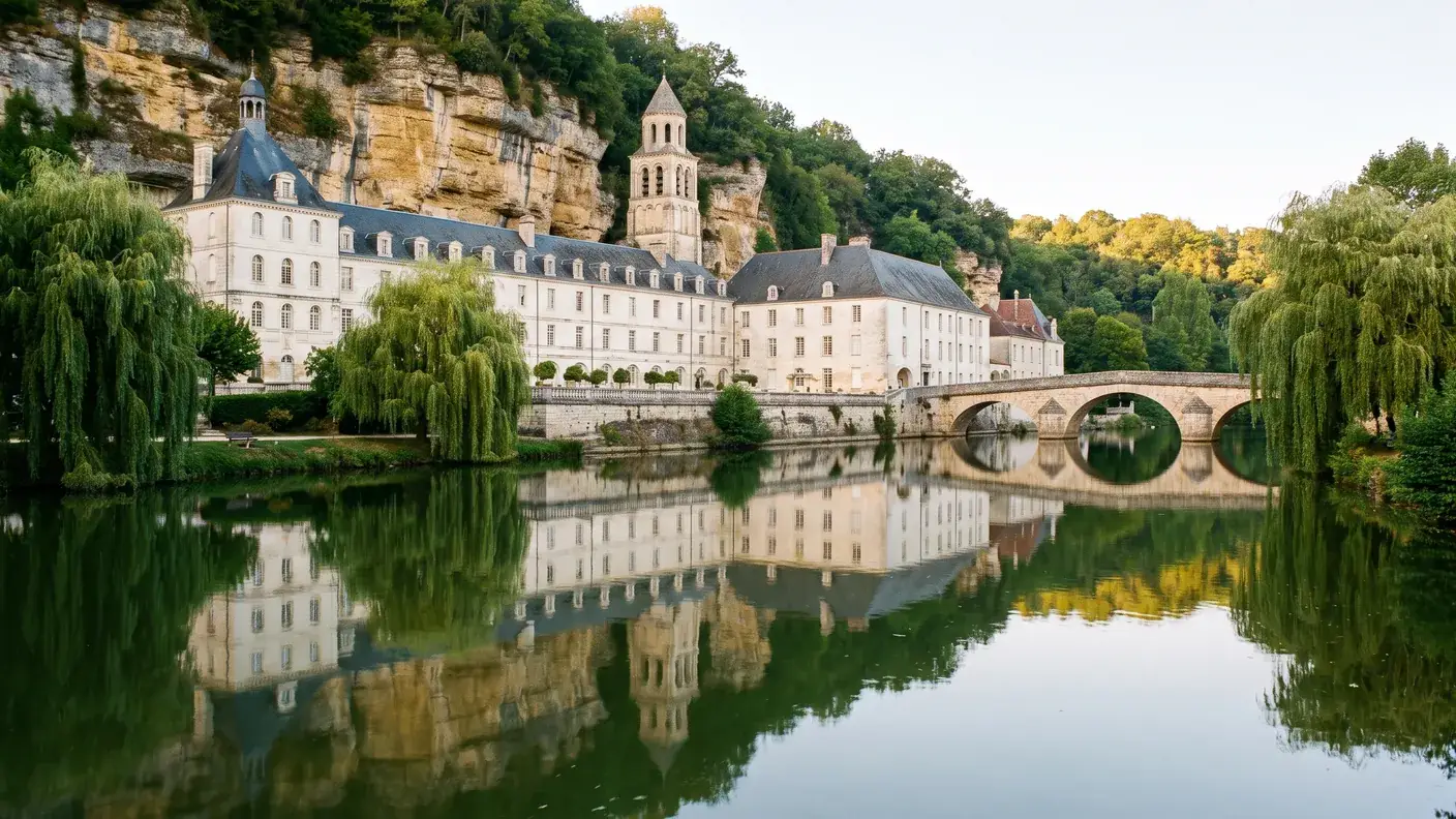
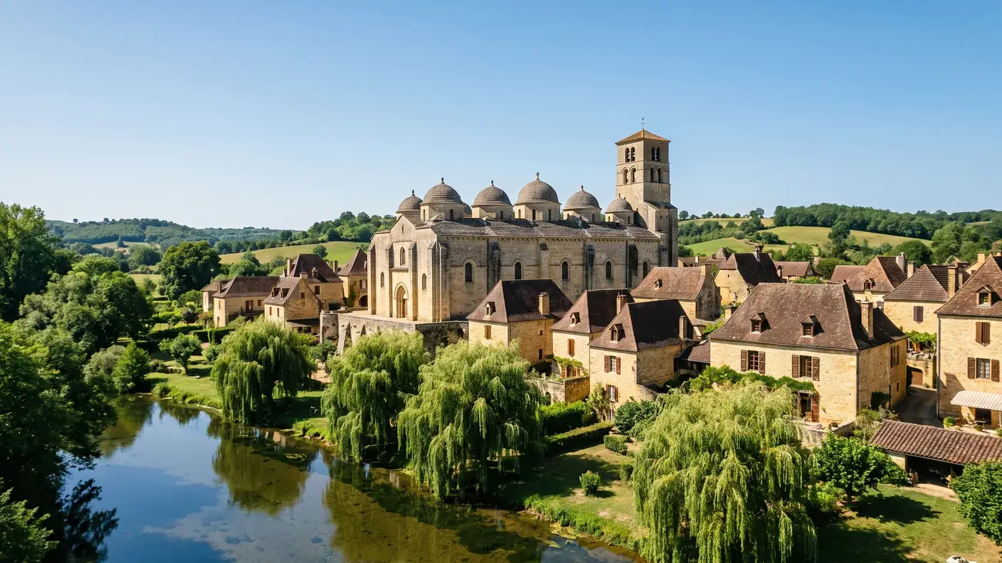
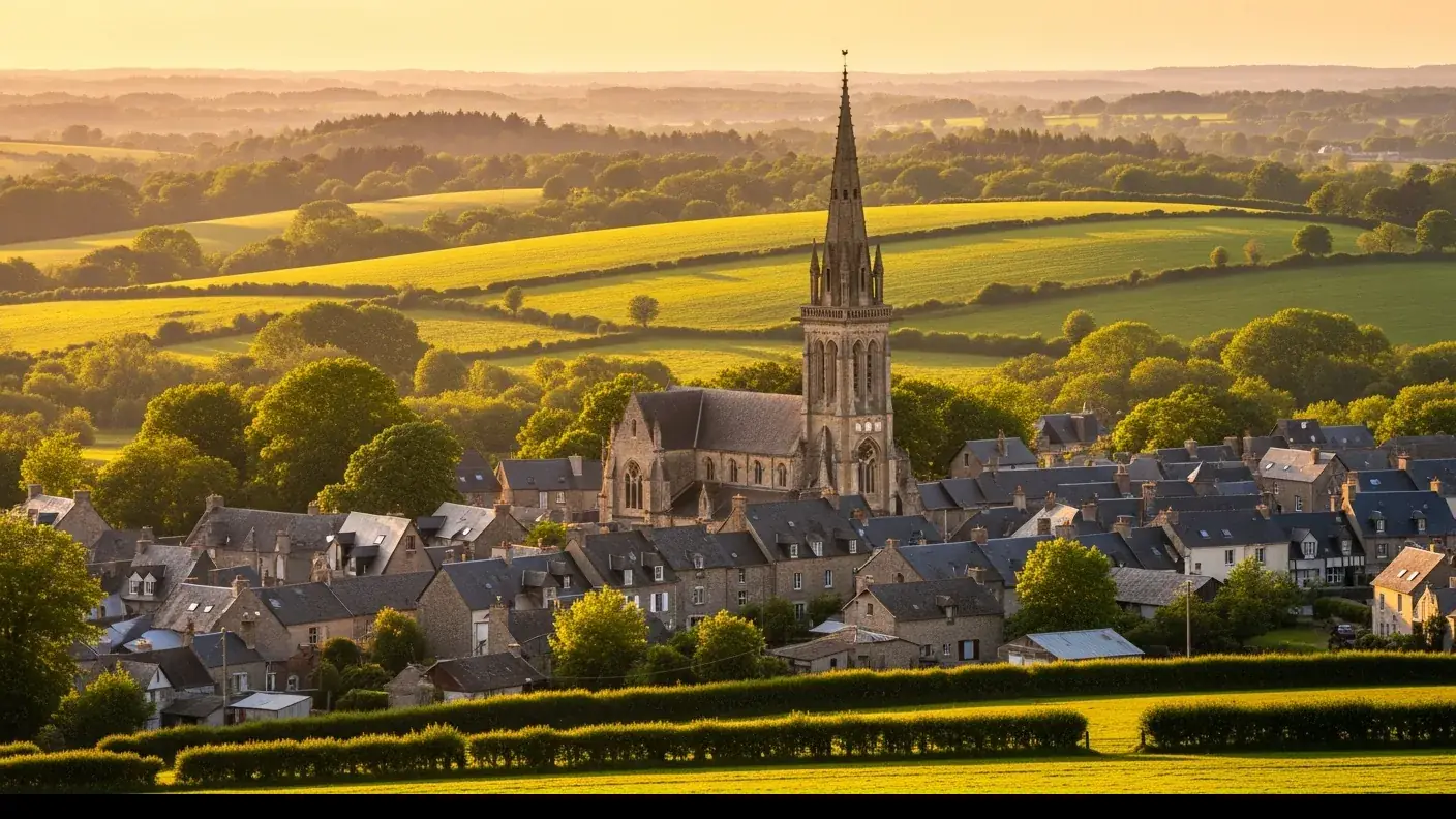
Off to the Périgord Vert region around Nontron
Direct trip from Bordeaux (~2 hours 31 minutes) to Champniers-et-Reilhac and the Périgord-Limousin region, with stops along the way as desired—Nontron, Brantôme, the Dronne Valley. Fixed-price quote in writing within 30 minutes; sedan or 8-passenger van; English-speaking driver.